Printed on Satin finish 80# cover stock – 220 GSM. Made in the USA! Standard production time is 5 Days. Please add more time for shipping.
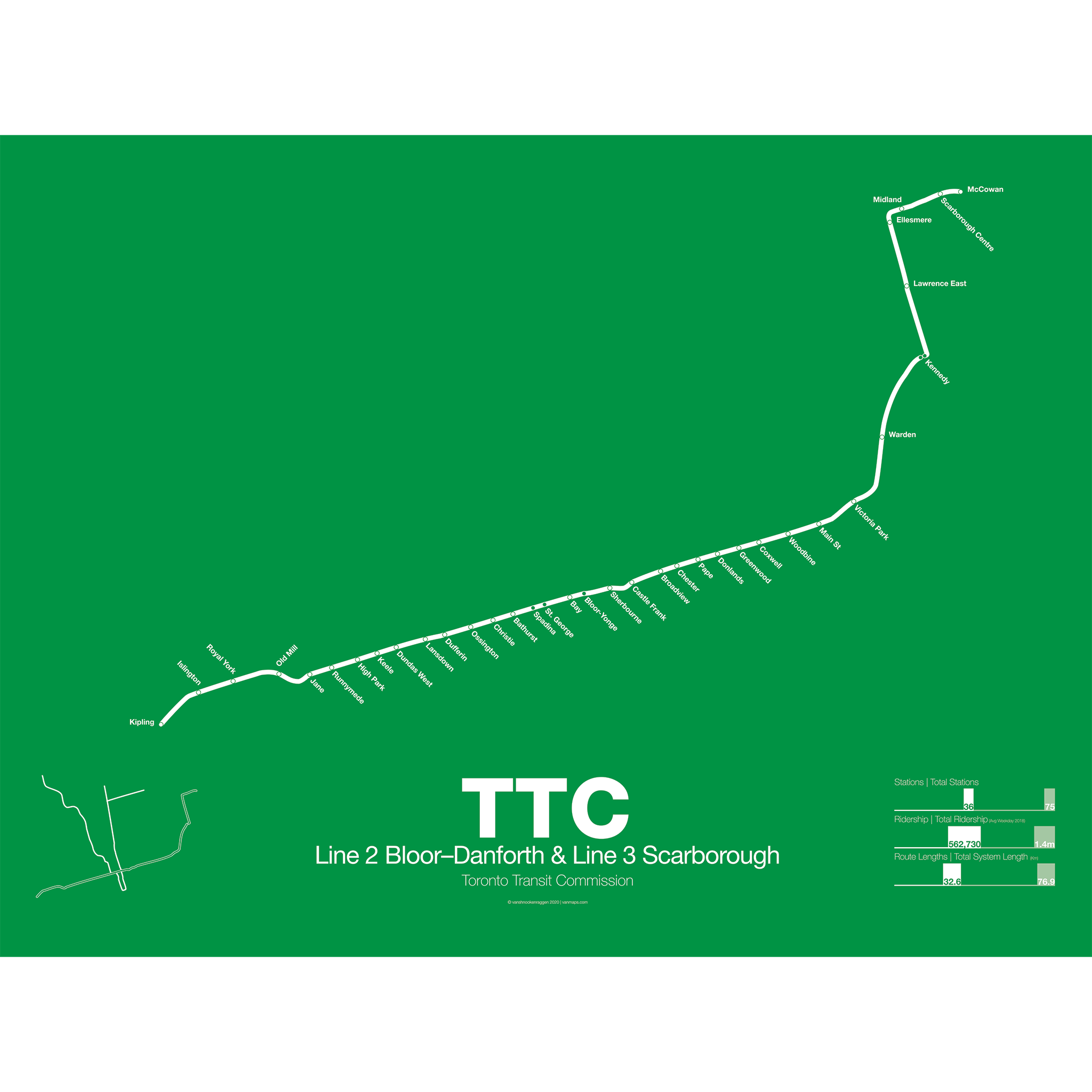
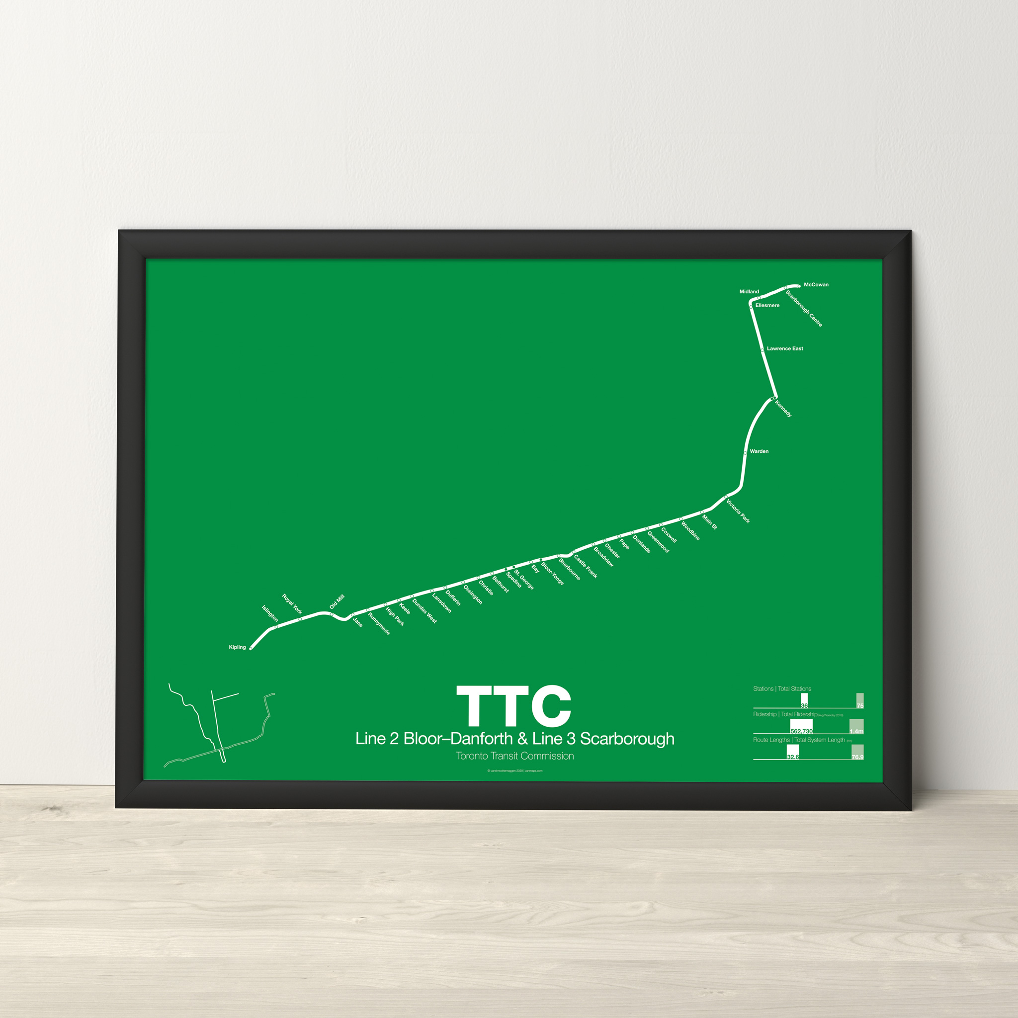
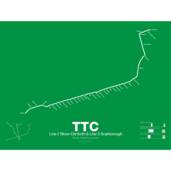
TTC Line 2 Bloor–Danforth & Line 3 Scarborough Poster
Out of StockPrice range: $30.00 through $80.00
Additional information
| Weight | N/A |
|---|---|
| Dimensions | N/A |
| Size | Framed 18"x24", 18” x 24”, 24” x 36” |
Related products
-
 Price range: $30.00 through $80.00
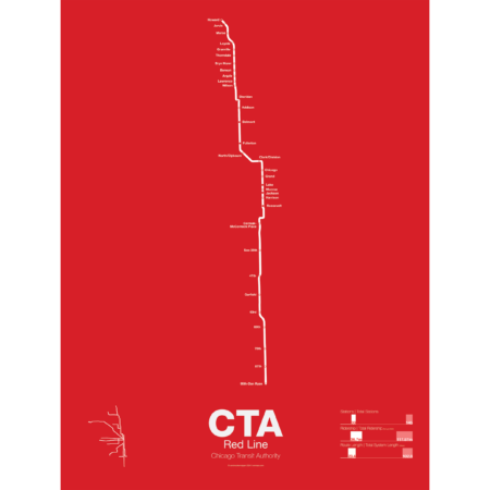
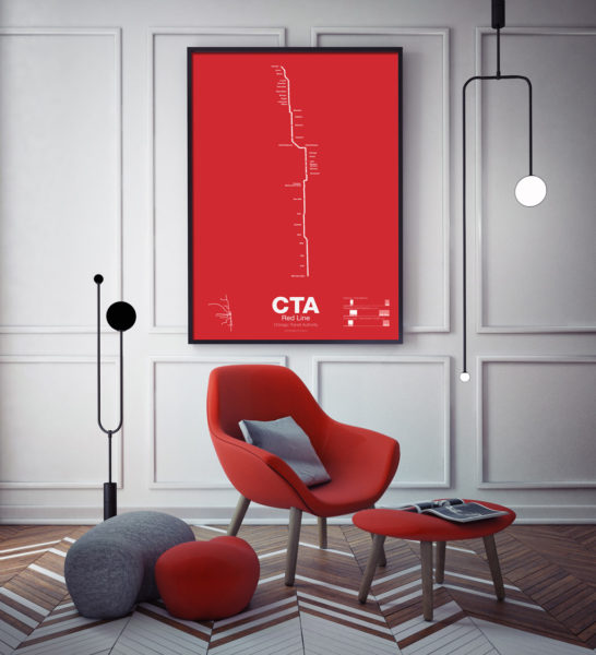
The Red Line is the busiest of all the Chicago “L” lines. The oldest section opened in 1900 as part of the North Side Main Line and starts at Howard station. One of the few lines in the United States which runs 24 hours a day it is also part of the only 4 track express subway in the US outside of New York City. In 1947 the State St Subway opened and allowed North Side trains to connect to the South Side elevated which is part of the Green Line today.
In 1969 the Dan Ryan Branch opened along the Dan Ryan Expressway but originally was connected to the Lake St elevated. In 1993 the CTA reorganized their lines with a new color code and the Dan Ryan Branch was shifted to the Red Line for a true north-south line. The CTA is currently studying plans to extend the Red Line south to 130th St.
Printed on Satin finish 80# cover stock – 220 GSM. Made in the USA! Standard production time is 5 Days. Please add more time for shipping.
Select options This product has multiple variants. The options may be chosen on the product page -
 Price range: $30.00 through $80.00
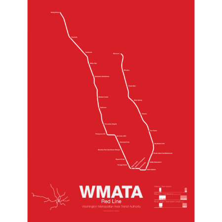
Breaking ground December 9th, 1969 the Red Line was the first section of the Washington Metro to open, from Farragut North to Rhode Island Ave, in 1976 in conjuncture with the nations Bicentennial. Over the next few years the line was extended to Dupont Circle and Silver Springs, MD and throughout the 1980s was slowly expanded to Shady Grove, MD and Wheaton, MD with a final extension to Glenmont opening in 1998.
The Red Line is the most used line in the WAMA system and the only line that doesn’t share a route with another line. A two track line, all but four of the stations are single central platforms. Most of the line is underground; however, the eastern branch from Union Station to Silver Springs and the western branch from White Flint to Shady Grove runs above ground along the Baltimore and Ohio Railroad right-of-way.
Printed on Satin finish 80# cover stock – 220 GSM. Made in the USA! Standard production time is 5 Days. Please add more time for shipping.
Select options This product has multiple variants. The options may be chosen on the product page -
 Price range: $30.00 through $80.00
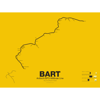
The Bay Area Rapid Transit system (BART) was, along with the WMATA in Washington D.C., one of the great centrally planned post-war rapid transit systems aimed at addressing the rise of the highway and auto-centric suburbs after World War II in the United States. Planning began in the 1950s for a unified high speed rail system that would serve both the dense inner cities of San Francisco and Oakland and their newly expanding low-rise suburbs. Stations would be spaced closer in the central business districts and further out in the suburbs.
Originally planned to connect Alameda, Contra Costa, Marin, San Francisco, and San Mateo counties BART was scaled back when San Mateo dropped out in favor of commuter rail service and the Marin line was dropped due to engineering concerns about running a rail line over the Golden Gate Bridge. Construction began in 1964 and the initial segments began to come online in 1972 and the majority of the system opening by 1974.
The Pittsburg/Bay Point–SFO/Millbrae Line, also known as the Pittsburg/Bay Point Line or the Concord Line (from the original terminus), was the second line to open in 1973 between Concord and MacArthur stations and extended to Daly City when the Transbay Tube opened in 1974.
In 1995 the line was extended northeast to Pittsburg/Bay Point Point and in 2003 the line was extended south to SFO/Millbrae.
The Pittsburg/Bay Point Line has the distinction of running with the longest train sets in the system; 10 car trains on weekdays and 8 or 9 car trains on evenings and weekends.
The section of track between Concord and Walnut Creek was the site of the BART groundbreaking ceremony in 1964 presided over by President Lyndon B. Johnson. Currently a new eBART system is being built east of Pittsburg/Bay Point station using Diesel Multiple Unit trains (as opposed to electric third-rail trains) to Antioch.
Printed on Satin finish 80# cover stock – 220 GSM. Made in the USA! Standard production time is 5 Days. Please add more time for shipping.
Select options This product has multiple variants. The options may be chosen on the product page -
 Price range: $30.00 through $80.00
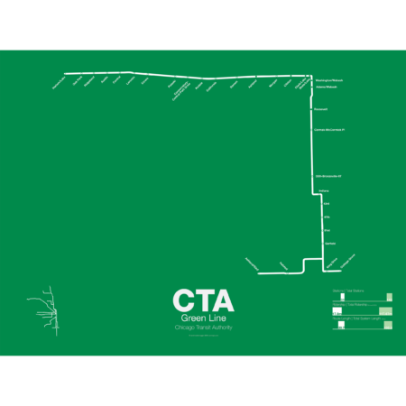
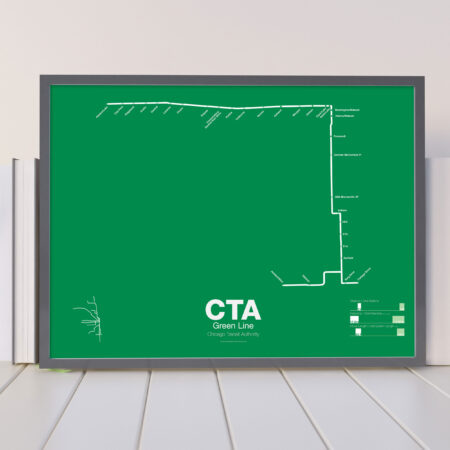
The Green Line is the modern combination of two of the oldest sections of the Chicago “L”. The South Side elevated opened in 1892 to serve the Columbian Exposition in 1893 and led to a building boom on the south side of Chicago. A number of branches were added to the line, to Englewood, Normal Park, Kenwood, and the Stock Yards. Today only the Englewood and Jackson Park branches remain while a number of stations have been closed due to low ridership.
The Lake St elevated was Chicago’s second elevated line opening in 1893. When the State St Subway opened in 1947 it was originally used by the South Side trains to connect to the north side and when the Dan Ryan Branch opened in 1969 it was used by the Lake St Line. In 1993 the CTA reorganized routings and color coded the new Lake St-South Side Lines as the Green Line.
Printed on Satin finish 80# cover stock – 220 GSM. Made in the USA! Standard production time is 5 Days. Please add more time for shipping.
Select options This product has multiple variants. The options may be chosen on the product page
Reviews
There are no reviews yet.