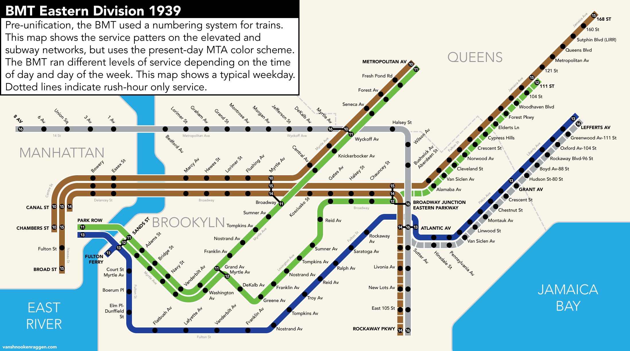
Client: Personal
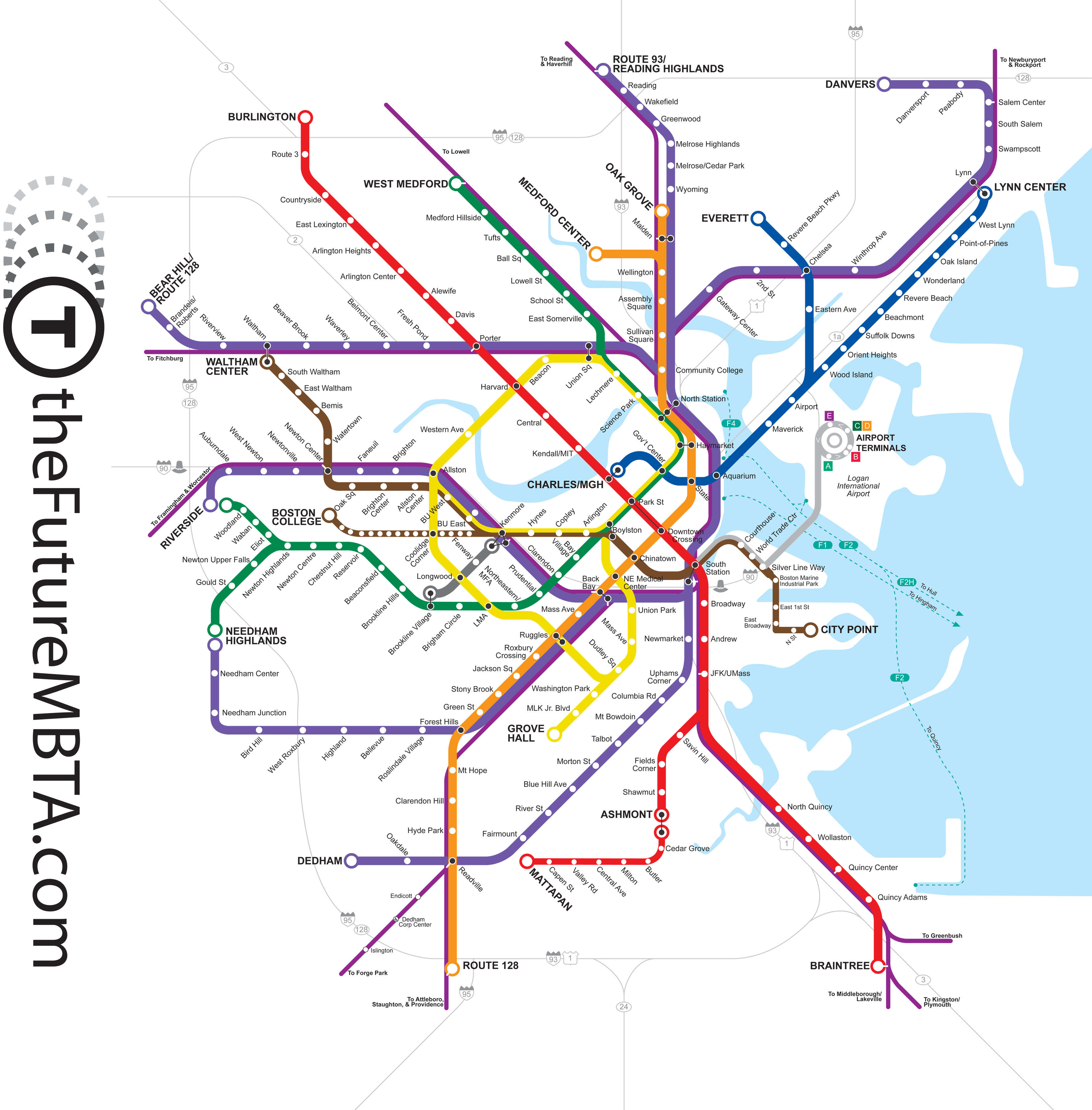
My journey into graphic design started with a simple desire to understand a story that a friend’s father told me. Living just outside of Boston, I relied on public transit to get around. The Red Line of the MBTA ended just outside the border of my town, which was easy enough to get to. One day, my friend’s father mentioned that in the 1980s, long before I lived in the town, the state had wanted to extend the Red Line through the center of town. What a great idea! But, what would that have looked like, I wondered? It was trying to answer that question that led me to make my first map.
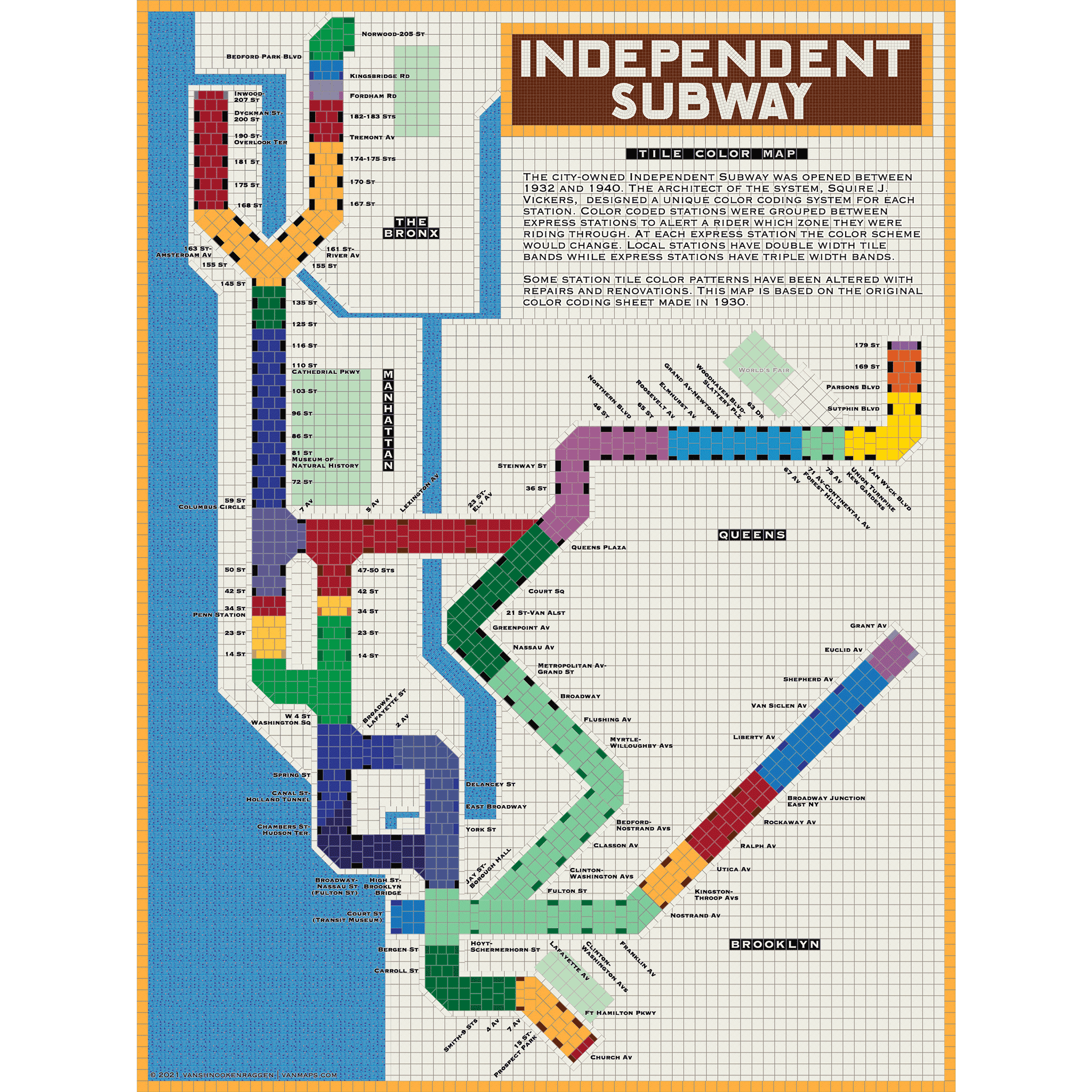
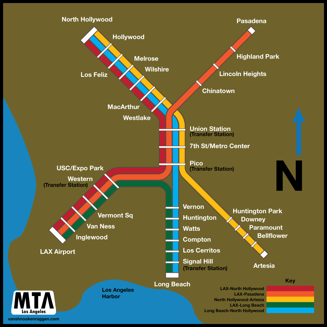
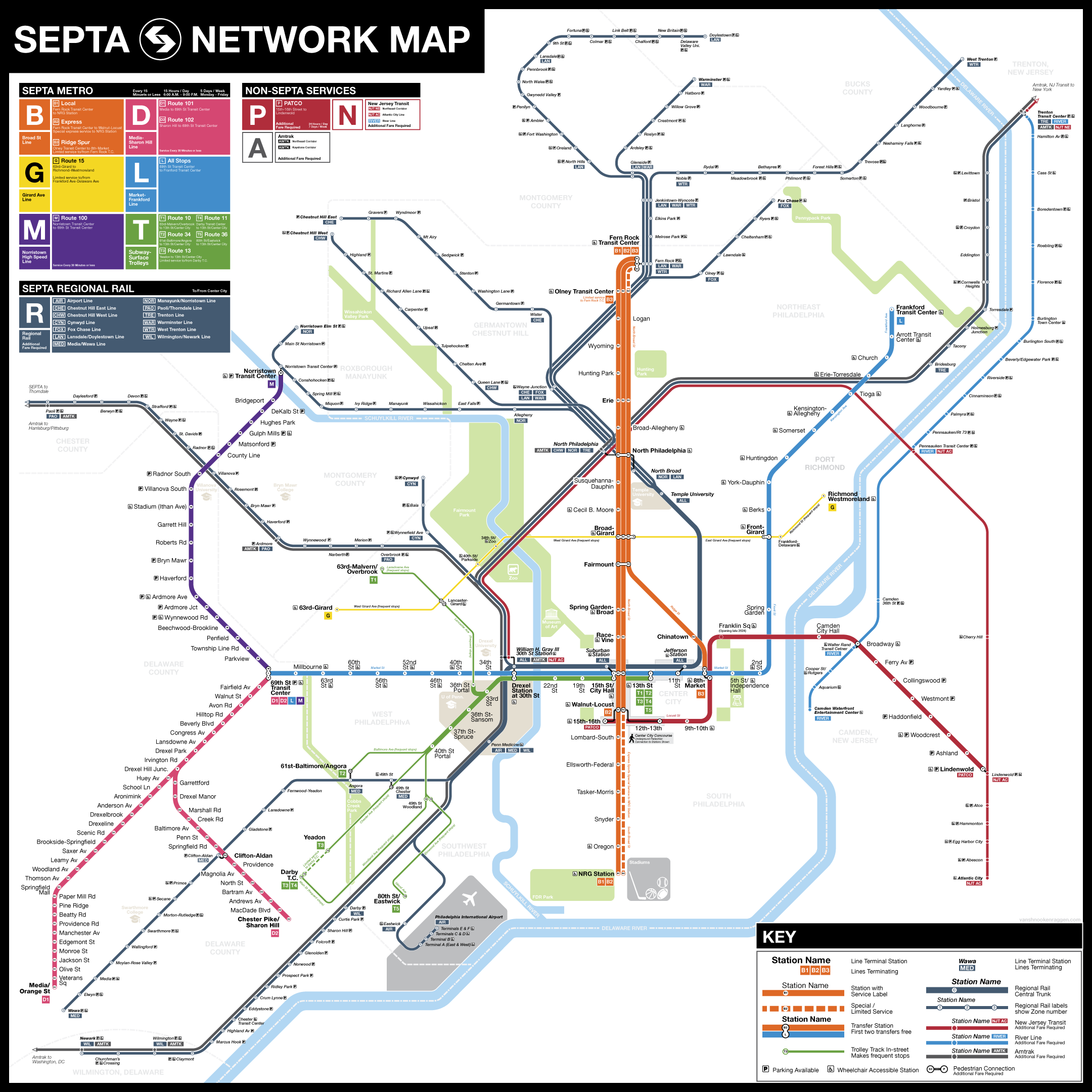
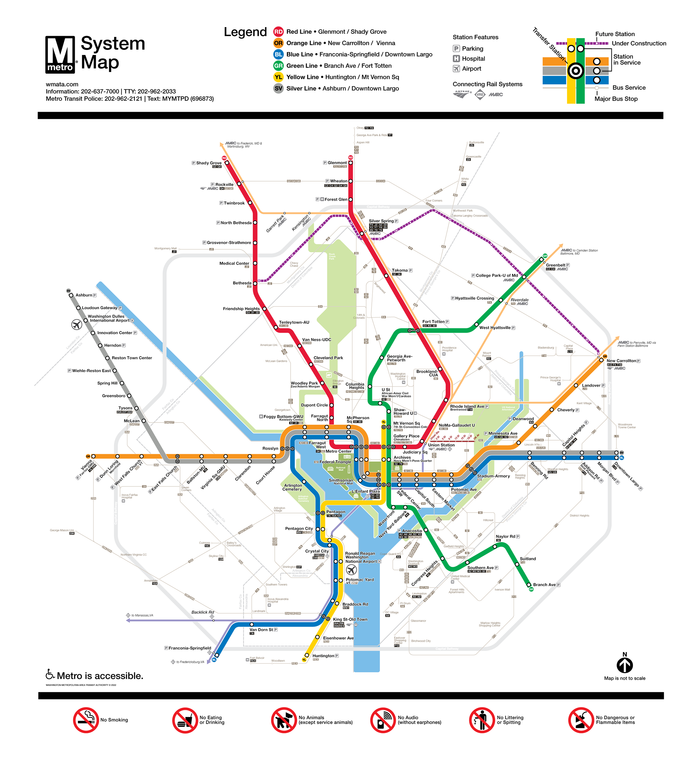
A transit map is not actually a map; it’s a diagrammatic representation of a network, simplified so that the user can more easily navigate through the network to their destination. As each city is different from any other, so too are transit maps different. Some transit maps are designed to solve a wayfinding problem, while others are fantasy, designed to inspire.