red line
5 Products
Active Filters
Filter by Category
Filter by Color
Filter by Price
Min Price:
Max Price:
-
 $30.00 – $80.00
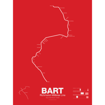
The Bay Area Rapid Transit system (BART) was, along with the WMATA in Washington D.C., one of the great centrally planned post-war rapid transit systems aimed at addressing the rise of the highway and auto-centric suburbs after World War II in the United States. Planning began in the 1950s for a unified high speed rail system that would serve both the dense inner cities of San Francisco and Oakland and their newly expanding low-rise suburbs. Stations would be spaced closer in the central business districts and further out in the suburbs.
Originally planned to connect Alameda, Contra Costa, Marin, San Francisco, and San Mateo counties BART was scaled back when San Mateo dropped out in favor of commuter rail service and the Marin line was dropped due to engineering concerns about running a rail line over the Golden Gate Bridge. Construction began in 1964 and the initial segments began to come online in 1972 and the majority of the system opening by 1974.
The Richmond-Millbrae Line, also known as the Richmond Line, was the fourth line to open in the BART system starting limited service in 1976. Because the Richmond Line shares its entire route with other BART lines it stops operations at 8pm on weekdays and 7pm on Saturdays. Originally terminating at Daly City the line was extended south in 2004 to SFO/Millbrae when that extension was opened sharing the line with the Pittsburg/Bay Point–SFO/Millbrae Line.
Printed on Satin finish 80# cover stock – 220 GSM. Made in the USA! Standard production is 5 Days. Please allow more time for shipping.
Select options This product has multiple variants. The options may be chosen on the product page -
 $375.00 – $500.00
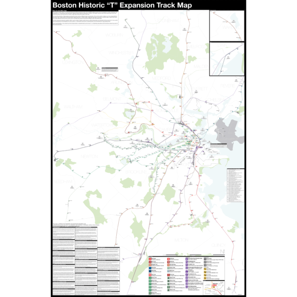
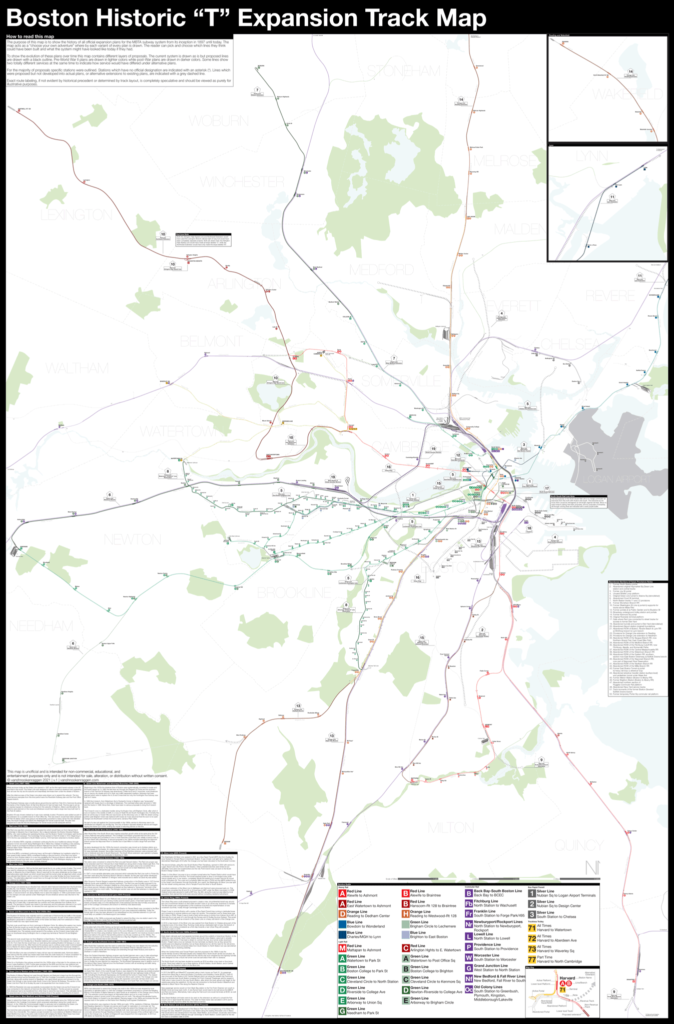
Boston opened the first subway in the US in 1897 and immediately began expanding it. Since then numerous plans have been drawn up, some are simple extensions while others are whole sale reimaginations of the subway. This map shows in detail each official proposal with the history of each idea.
The map acts as a “choose your own adventure” where by each variant of every plan is drawn. The reader can pick and choose which lines they think could have been built and what the system might have looked like today if they had.
Fine art prints are made in Williamsburg, Brooklyn NY on Semi-Gloss, 10mil Premium Luster Paper.
For more information about the map see the original blog post here.
Select options This product has multiple variants. The options may be chosen on the product page -
 $30.00 – $80.00
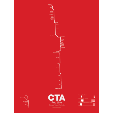
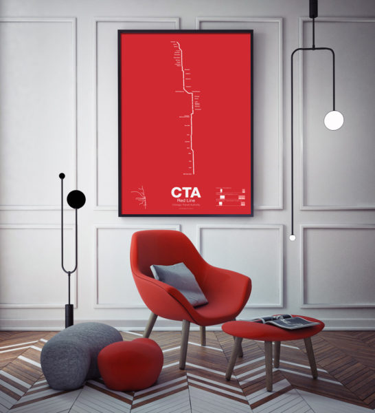
The Red Line is the busiest of all the Chicago “L” lines. The oldest section opened in 1900 as part of the North Side Main Line and starts at Howard station. One of the few lines in the United States which runs 24 hours a day it is also part of the only 4 track express subway in the US outside of New York City. In 1947 the State St Subway opened and allowed North Side trains to connect to the South Side elevated which is part of the Green Line today.
In 1969 the Dan Ryan Branch opened along the Dan Ryan Expressway but originally was connected to the Lake St elevated. In 1993 the CTA reorganized their lines with a new color code and the Dan Ryan Branch was shifted to the Red Line for a true north-south line. The CTA is currently studying plans to extend the Red Line south to 130th St.
Printed on Satin finish 80# cover stock – 220 GSM. Made in the USA! Standard production time is 5 Days. Please add more time for shipping.
Select options This product has multiple variants. The options may be chosen on the product page -
 $30.00 – $80.00
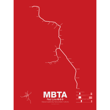
In 1912 the Red Line benefited from being the last of the original subways in Boston to open. A decade of subway building allowed the Red Line to be designed with larger trains and platforms that were easier to navigate (unlike the disconnected Orange Line platforms). Planned as an elevated subway until the citizens of Cambridge objected, the original route connected Harvard Sq. with Park St. At Harvard Sq. a parallel subway was built for trolleys to transfer commuters from the northwestern suburbs and is still in use today.
The Red Line was quickly extended to South Boston and large transfer stations were built at Broadway and Andrew Sq. to collect trolley (and later bus) commuters coming from Dorchester.
In 1926 and 1927 the Red Line was extended to Ashmont in Dorchester along the route of and old commuter rail road. Though the subway was proposed to be extended further to Mattapan the residents of Milton and southern Dorchester opted for a high speed trolley route instead, pre-dating the concept of light rail.
Plans were drawn up to create a new branch of the Red Line to Braintree as early as 1945 but construction didn’t begin for another 20 years. First to Quincy in 1971 and finally to Braintree in 1980 the new branch was designed to bypass Dorchester for a quicker commute.
At the other end the Red Line was extended northwest from Harvard Sq. to Alewife in 1985. Originally planned to run out to Lexington along the abandoned Boston and Maine Railroad the line was cut back when residents of Arlington protested.
The Red Line runs two heavy rail routes, Alewife-Ashmont and Alewife-Braintree (which skips Savin Hill).
A light rail section runs from Ashmont to Mattapan using refurbished PPC trolleys from the 1940s.
Printed on Satin finish 80# cover stock – 220 GSM. Made in the USA! Standard production time is 5 Days. Please allow more time for shipping.
Select options This product has multiple variants. The options may be chosen on the product page -
 $30.00 – $80.00
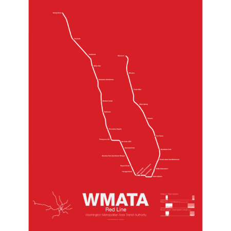
Breaking ground December 9th, 1969 the Red Line was the first section of the Washington Metro to open, from Farragut North to Rhode Island Ave, in 1976 in conjuncture with the nations Bicentennial. Over the next few years the line was extended to Dupont Circle and Silver Springs, MD and throughout the 1980s was slowly expanded to Shady Grove, MD and Wheaton, MD with a final extension to Glenmont opening in 1998.
The Red Line is the most used line in the WAMA system and the only line that doesn’t share a route with another line. A two track line, all but four of the stations are single central platforms. Most of the line is underground; however, the eastern branch from Union Station to Silver Springs and the western branch from White Flint to Shady Grove runs above ground along the Baltimore and Ohio Railroad right-of-way.
Printed on Satin finish 80# cover stock – 220 GSM. Made in the USA! Standard production time is 5 Days. Please add more time for shipping.
Select options This product has multiple variants. The options may be chosen on the product page

