

Printed on Satin finish 80# cover stock – 220 GSM. Made in the USA! Standard production time is 5 days. Allow more time for shipping.
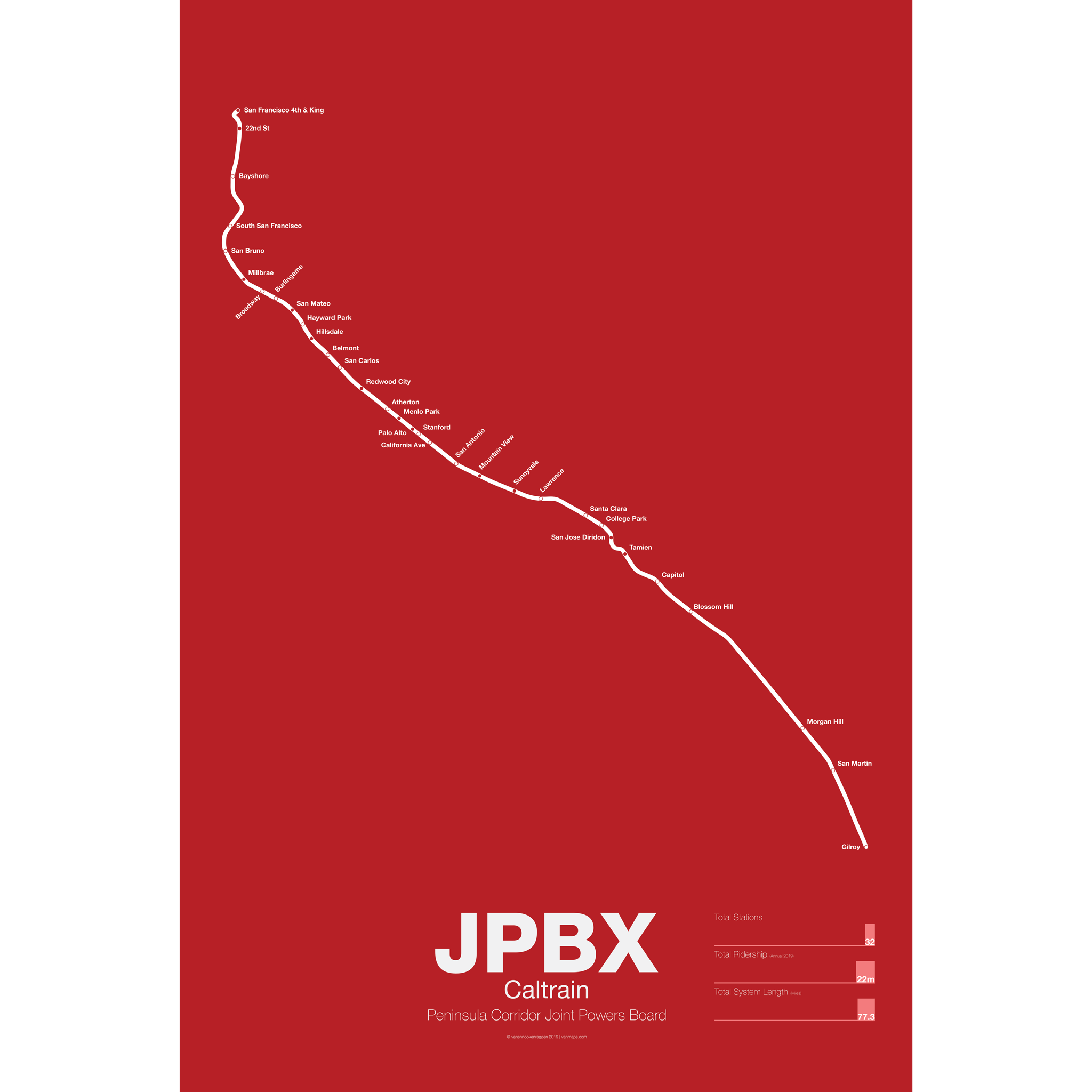
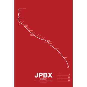
Caltrain Poster
Price range: $30.00 through $80.00
Additional information
| Weight | N/A |
|---|---|
| Dimensions | N/A |
| Size | Framed 18"x24", 18” x 24”, 24” x 36” |
Related products
-
 Price range: $30.00 through $80.00
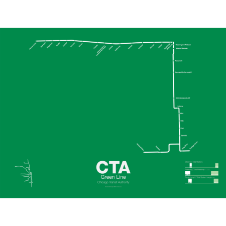
The Green Line is the modern combination of two of the oldest sections of the Chicago “L”. The South Side elevated opened in 1892 to serve the Columbian Exposition in 1893 and led to a building boom on the south side of Chicago. A number of branches were added to the line, to Englewood, Normal Park, Kenwood, and the Stock Yards. Today only the Englewood and Jackson Park branches remain while a number of stations have been closed due to low ridership.
The Lake St elevated was Chicago’s second elevated line opening in 1893. When the State St Subway opened in 1947 it was originally used by the South Side trains to connect to the north side and when the Dan Ryan Branch opened in 1969 it was used by the Lake St Line. In 1993 the CTA reorganized routings and color coded the new Lake St-South Side Lines as the Green Line.
Printed on Satin finish 80# cover stock – 220 GSM. Made in the USA! Standard production time is 5 Days. Please add more time for shipping.
Select options This product has multiple variants. The options may be chosen on the product page -
 Price range: $30.00 through $80.00
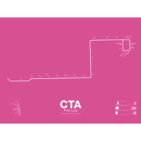
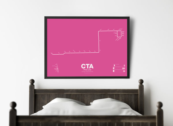
The Pink Line is the most recent addition to the CTA but uses some of the original tracks of the old Metropolitan West Side elevated. The Douglas Park branch opened in 1896 and ran as far west as Oak Park Ave until it was cut back to 54th Ave in Cicero. When the Garfield Park branch of the Met was removed and replaced by the Congress Line (running in the median of Interstate 290) the Douglas Park branch was connected to it and routed through the Milwaukee-Dearborn Subway.
The Congress-Douglas Lines operated a skip-stop service with stations being designated as A, B, or A/B. The Douglas branch ran B trains exclusively until this service was discontinued. In 2005 the CTA began studies looking at making the Douglas branch a separate line, originally known as the Silver Line. In 2006 a contest found that pink was the preferred choice. The CTA rehabilitated a section of track known as the Paulina Connector which was part of the original Metropolitan elevated but was connected to the Lake St Line. This allows Douglas branch trains to run over the Loop for the first time in half a century.
Printed on Satin finish 80# cover stock – 220 GSM. Made in the USA! Standard production time is 5 Days. Please add more time for shipping.
Select options This product has multiple variants. The options may be chosen on the product page -
 Price range: $30.00 through $80.00
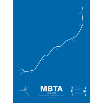
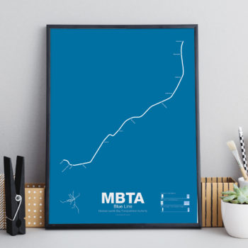
The Blue Line started off as a trolley tunnel to connect Scollay Sq. in downtown Boston to Maverick Sq. in East Boston. It holds the distinction as the first underwater transit tunnel (under a major body of water) opening in 1904. Initial plans called for it to be connected to the Green Line to form a subway trolley network connection all points north, east, south, and west. However, in 1924, the line was converted to heavy rail and extended to Bowdoin Sq. The Blue Line diverted traffic away from East Boston ferries which, ironically, helped bring the demise to the Atlantic Ave elevated line.
Until the 1950s the Blue Line was connected to the Red Line at Charles St so that Blue Line trains could be serviced at the Red Line train shops in Harvard Sq. In 1952 the Blue Line was extended to Suffolk Downs along the abandoned Boston, Revere Beach and Lynn Railroad and two years later extended to Revere where it still terminates at Wonderland.
Printed on Satin finish 80# cover stock – 220 GSM. Made in the USA! Standard production time is 5 Days. Please add more time for shipping.
Select options This product has multiple variants. The options may be chosen on the product page -
 Price range: $30.00 through $80.00
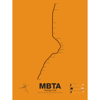
First opened in 1901 the Orange Line was the second part of Boston’s subway system to open. The tunnel under Tremont St was converted from trolleys to heavy rail to allow the new elevated trains from Charlestown to run through to Dudley Sq. in the South End. A second elevated section known as the Atlantic Ave El ran from Castle Sq. in the South End to North Station along Atlantic Ave to serve the maritime industries along the waterfront. In 1904 the Washington St tunnel was opened specifically for use by elevated trains and the Tremont St subway was switched back for trolley use.
The Orange Line was designed to collect commuters at elaborate transfer stations in Charlestown and Roxbury and quickly move them downtown. Suburban stations were spaced farther apart and downtown station platforms were built catty-corner from one another. This spread commuters out so that Boston’s notoriously narrow streets would not be over crowded by subway passengers.
As the city grew so did the Orange Line being extended to Forest Hills and Everett (a further extension to Malden was halted until the 1970s). As the maritime industry faded and ridership dropped the Atlantic Ave El was demolished and sold for scrap during World War II.
While the El served the city well it was not popular as it was loud, dark, and dirty. Plans were laid as early as 1945 to remove the El and rebuild as a subway.
In the 1970s the city canceled ambitious plans to run highways through and around the city and monies were transferred to subway construction. The northern section was rebuilt first, removing the elevated tracks through Charlestown and moving them west along a new subway to Malden in 1975.
The southern section was rebuilt along the route for the canceled I-95 expressway through Jamaica Plain to Forest Hills in 1987. While the new Orange Line was modern and fast the new route bypassed the existing community of Roxbury which relied heavily on mass transit. Service along the old route was replaced by the Silver Line bus in 2002.
Printed on Satin finish 80# cover stock – 220 GSM. Made in the USA! Standard production time is 5 Days. Please add more time for shipping.
Select options This product has multiple variants. The options may be chosen on the product page
Reviews
There are no reviews yet.