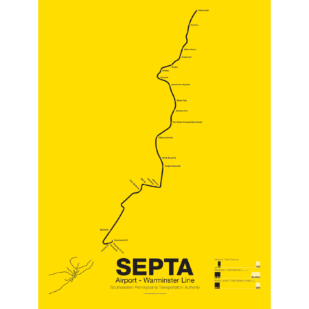
Printed on Satin finish 80# cover stock – 220 GSM. Made in the USA! Standard production time is 5 days. Allow more time for shipping.
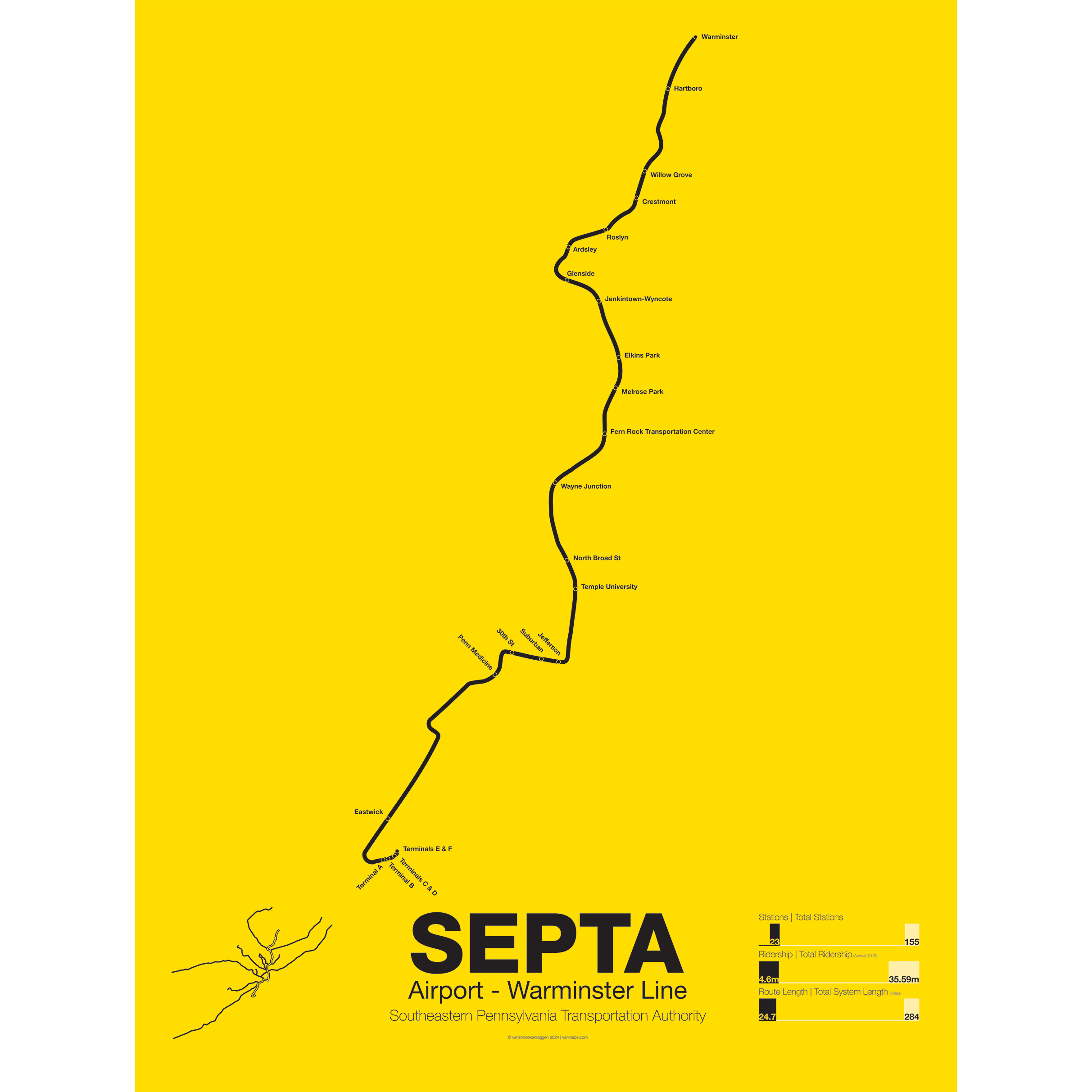
SEPTA Regional Rail R1: Airport-Warminster Line
Price range: $30.00 through $80.00
Additional information
| Weight | 1 lbs |
|---|---|
| Dimensions | 3 × 3 × 24 in |
| Size | Framed 18"x24", 18" x 24", 24" x 36 |
Related products
-
 Price range: $30.00 through $80.00
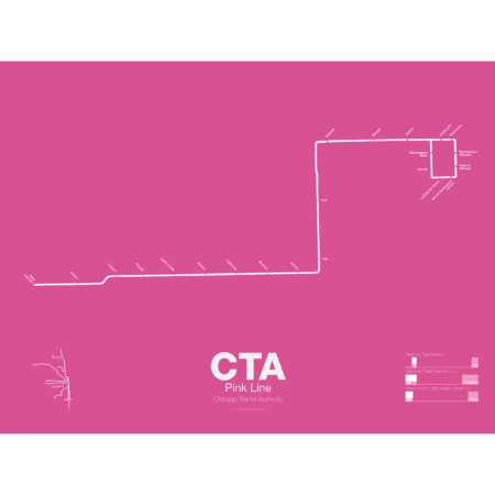
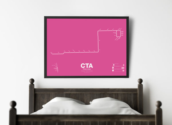
The Pink Line is the most recent addition to the CTA but uses some of the original tracks of the old Metropolitan West Side elevated. The Douglas Park branch opened in 1896 and ran as far west as Oak Park Ave until it was cut back to 54th Ave in Cicero. When the Garfield Park branch of the Met was removed and replaced by the Congress Line (running in the median of Interstate 290) the Douglas Park branch was connected to it and routed through the Milwaukee-Dearborn Subway.
The Congress-Douglas Lines operated a skip-stop service with stations being designated as A, B, or A/B. The Douglas branch ran B trains exclusively until this service was discontinued. In 2005 the CTA began studies looking at making the Douglas branch a separate line, originally known as the Silver Line. In 2006 a contest found that pink was the preferred choice. The CTA rehabilitated a section of track known as the Paulina Connector which was part of the original Metropolitan elevated but was connected to the Lake St Line. This allows Douglas branch trains to run over the Loop for the first time in half a century.
Printed on Satin finish 80# cover stock – 220 GSM. Made in the USA! Standard production time is 5 Days. Please add more time for shipping.
Select options This product has multiple variants. The options may be chosen on the product page -
 Price range: $30.00 through $80.00
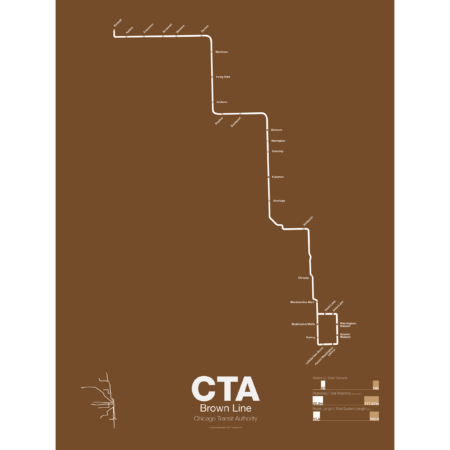
The Brown Line began as the Northwestern Elevated in 1907 and runs from its terminal at Kimball to the Loop and back, making a zig-zag through the northwest section of the city. At the terminal at Kimball trains run at street level with third-rail power which is rare for transit in the US and extremely dangerous for pedestrians. Brown Line trains run local with Red Line trains from Belmont to Fullerton. Recently the stations of the Brown Line were expanded and upgraded to be ADA compliant to deal with rapid population growth on the north side.
Printed on Satin finish 80# cover stock – 220 GSM. Made in the USA! Standard production time is 5 Days. Please add more time for shipping.
Select options This product has multiple variants. The options may be chosen on the product page -
 Price range: $30.00 through $80.00
The Bay Area Rapid Transit system (BART) was, along with the WMATA in Washington D.C., one of the great centrally planned post-war rapid transit systems aimed at addressing the rise of the highway and auto-centric suburbs after World War II in the United States. Planning began in the 1950s for a unified high speed rail system that would serve both the dense inner cities of San Francisco and Oakland and their newly expanding low-rise suburbs. Stations would be spaced closer in the central business districts and further out in the suburbs.
Originally planned to connect Alameda, Contra Costa, Marin, San Francisco, and San Mateo counties BART was scaled back when San Mateo dropped out in favor of commuter rail service and the Marin line was dropped due to engineering concerns about running a rail line over the Golden Gate Bridge. Construction began in 1964 and the initial segments began to come online in 1972 and the majority of the system opening by 1974.
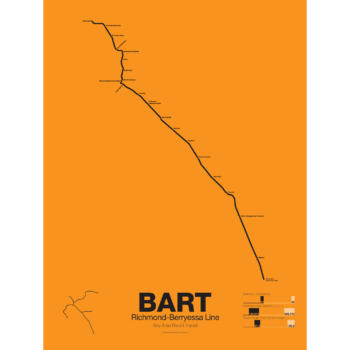
The Richmond-Warm Springs Line, also known as the East Bay Line, is the only line that does not enter San Francisco running from Richmond in the north through Oakland to Fremont in the south. Like most BART lines the Richmond-Fremont Line shares its tracks with other BART lines: the Richmond-Millbrae Line, the Pittsburg/Bay Point–SFO/Millbrae Line, the Fremont–Daly City Line, and the Dublin/Pleasanton–Daly City Line.
The Richmond–Fremont Line was the first of BART’s five lines to open. Service from MacArthur to Fremont began on September 11, 1972, the first day of BART operation and was extended to Richmond on January 29, 1973.
Construction has begun on a southern extension to San Jose; the first phase to Warm Springs/South Fremont opened in 2017 with the second phase to Milpitas and Berryessa opening in 2020.
Printed on Satin finish 80# cover stock – 220 GSM. Made in the USA! Standard production time is 5 days. Allow more time for shipping.
Select options This product has multiple variants. The options may be chosen on the product page -
 Price range: $30.00 through $80.00
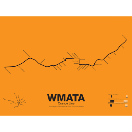
The Orange Line was the third leg of the Washington Metro to open, though service began running in 1978 as a one way service along the existing Blue Line from New Carrollton to National Airport. It wasn’t until a year later in 1979 that the Orange Line was extended out to Ballston when it began running in both directions. In 1986 the line was extended out to Vienna. Plans at the time to reroute the line through the fast developing Tysons Corner were eventually dropped to prevent a five year delay in construction.
These plans were resurrected with the Silver Line being built through Tysons Corner on its way to Dulles Airport. The Orange Line through Virginia runs along the median of Interstate 66 from Vienna to Falls Church. Originally the line was to run along the median of I-66 through Arlington but city planners rerouted it through downtown Arlington which helped stimulate dense residential development in central Arlington.
From Roslyn to Stadium-Armory the Orange and Blue lines share their downtown subway tunnel and split after ascending to the surface on a bridge over the Anacostia River. From here the Orange Line runs alongside the CSX/Amtrak ROW to New Carrollton.
Printed on Satin finish 80# cover stock – 220 GSM. Made in the USA! Standard production time is 5 Days. Please add more time for shipping.
Select options This product has multiple variants. The options may be chosen on the product page