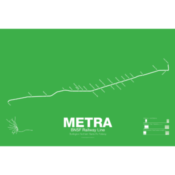
Printed on Satin finish 80# cover stock – 220 GSM. Made in the USA! Standard production time is 5 days. Allow more time for shipping.

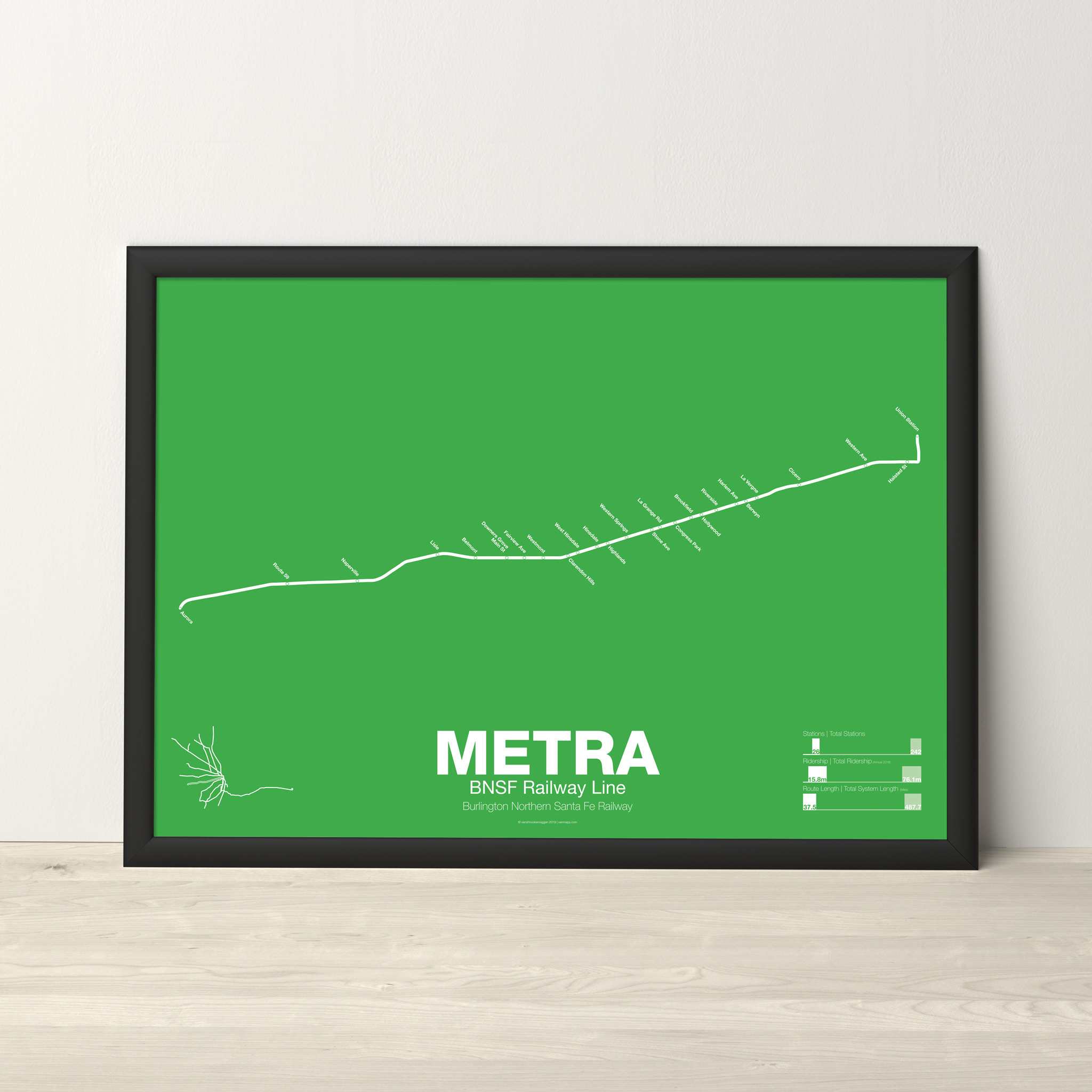
METRA BNSF Line Poster
Price range: $30.00 through $80.00
Additional information
| Weight | N/A |
|---|---|
| Dimensions | N/A |
| Size | 18"x24", 24"x36", Framed 18" x 24" |
Related products
-
 Price range: $30.00 through $80.00
Printed on Satin finish 80# cover stock – 220 GSM. Made in the USA! Standard production time is 5 days. Allow more time for shipping.
Select options This product has multiple variants. The options may be chosen on the product page -
 Price range: $30.00 through $80.00
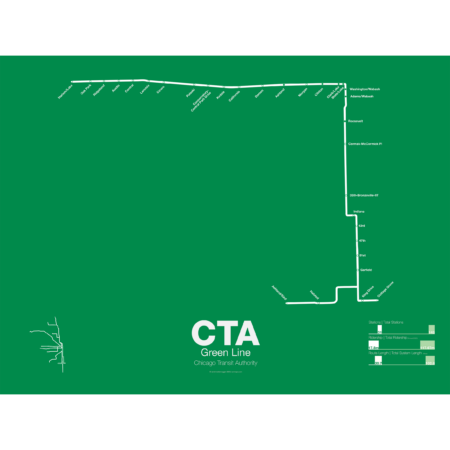
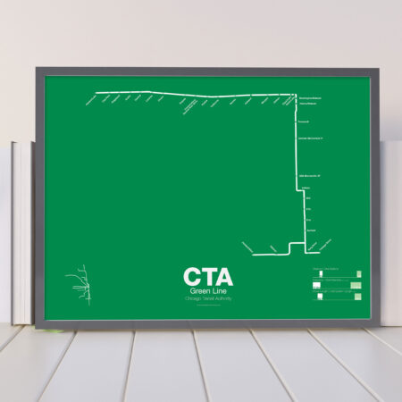
The Green Line is the modern combination of two of the oldest sections of the Chicago “L”. The South Side elevated opened in 1892 to serve the Columbian Exposition in 1893 and led to a building boom on the south side of Chicago. A number of branches were added to the line, to Englewood, Normal Park, Kenwood, and the Stock Yards. Today only the Englewood and Jackson Park branches remain while a number of stations have been closed due to low ridership.
The Lake St elevated was Chicago’s second elevated line opening in 1893. When the State St Subway opened in 1947 it was originally used by the South Side trains to connect to the north side and when the Dan Ryan Branch opened in 1969 it was used by the Lake St Line. In 1993 the CTA reorganized routings and color coded the new Lake St-South Side Lines as the Green Line.
Printed on Satin finish 80# cover stock – 220 GSM. Made in the USA! Standard production time is 5 Days. Please add more time for shipping.
Select options This product has multiple variants. The options may be chosen on the product page -
 Price range: $30.00 through $80.00
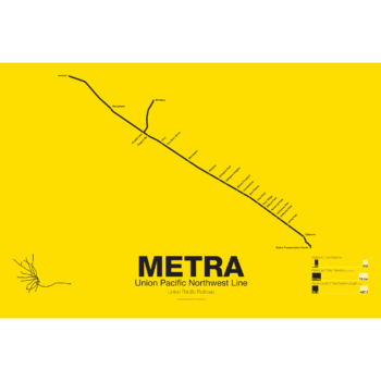
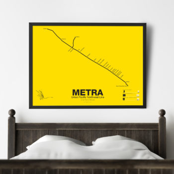
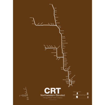
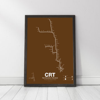
The Northwestern Elevated opened in 1907 and ran from a terminal on North Water St before it connected to Loop. The Main Line ran north to Evanston and a branch was built to Kimball. When the Northwestern was consolidated into the Chicago Rapid Transit Commission a second branch to Skokie was connected which once allowed interurban trains to run from the Loop to Milwaukee. The Northwestern division was split into the Brown, Purple, Yellow, and Red Lines.
Printed on Satin finish 80# cover stock – 220 GSM. Made in the USA! Standard production time is 5 Days. Please add more time for shipping.
Select options This product has multiple variants. The options may be chosen on the product page -
 Price range: $30.00 through $80.00
Printed on Satin finish 80# cover stock – 220 GSM. Made in the USA! Standard production time is 5 days. Allow more time for shipping.
Select options This product has multiple variants. The options may be chosen on the product page