Printed on Satin finish 80# cover stock – 220 GSM. Made in the USA! Standard production time is 5 days. Allow more time for shipping.
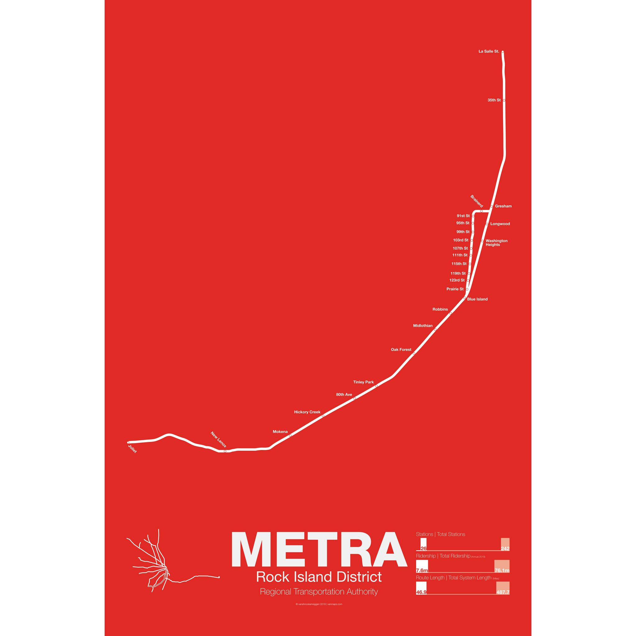
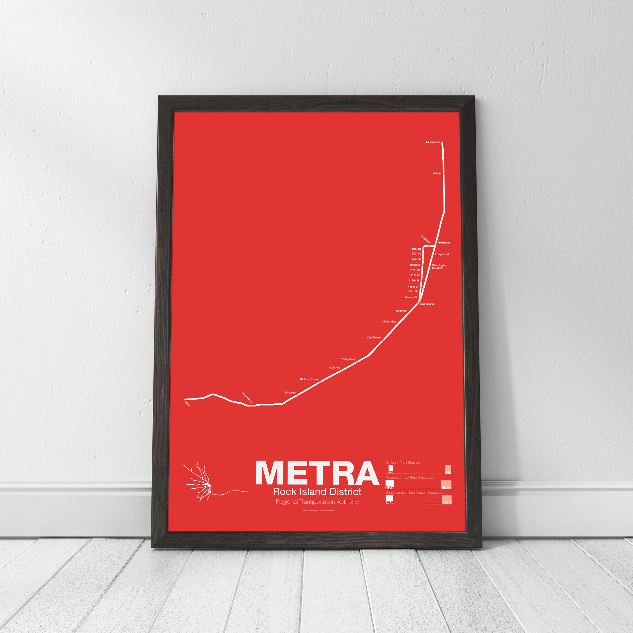
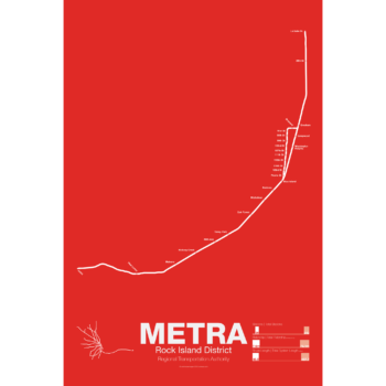
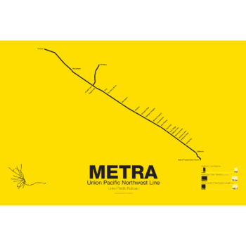
METRA Rock Island District Line Poster
Price range: $30.00 through $80.00
Additional information
| Weight | N/A |
|---|---|
| Dimensions | N/A |
| Size | 18"x24", 24"x36", Framed 18" x 24" |
Related products
-
 Price range: $30.00 through $80.00
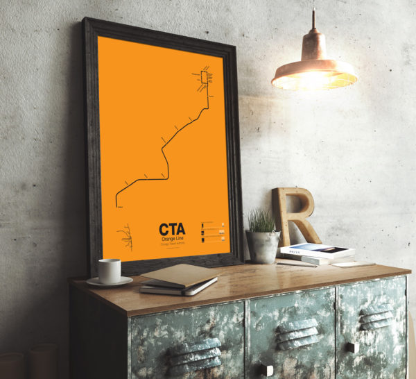
First proposed in the 1930s but only opened in 1993 the Orange Line serves the southwest section of Chicago and terminates at Midway Airport. Funding for the line was secured after the cancellation of the controversial Crosstown Expressway. For much of the route the Orange Line runs parallel to CSX and Conrail tracks but connects to the Loop in downtown Chicago. The original terminal at Ford City Mall was cut back due to cost savings but current studies are underway to extend the Orange Line past Midway to the mall.
Printed on Satin finish 80# cover stock – 220 GSM. Made in the USA! Standard production time is 5 Days. Please add more time for shipping.
Select options This product has multiple variants. The options may be chosen on the product page -
 Price range: $30.00 through $80.00
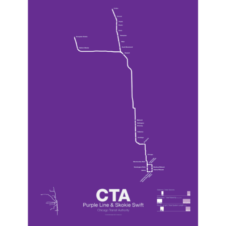
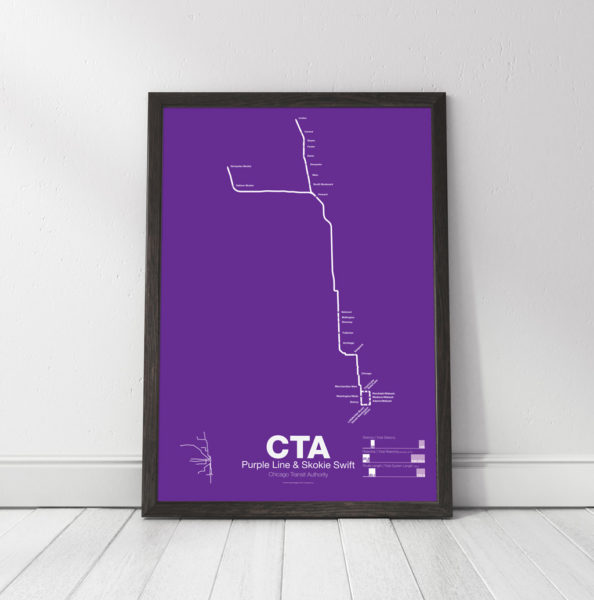
The Purple Line began as part of the Northwestern elevated, a bit of a misnomer as the line ran mostly at street level until it was expanded onto a 4 track elevated embankment in 1928. The line was extended to Evanston in 1908 and Wilmette in 1912. After 1928 the line began running express from Howard station to the Loop. In 1949 when the CTA took over operations the line was rerouted through the State St Subway as part of a new north-south route. This service was eventually replaced by the Red Line. Today the Purple Line runs from Linden to Howard days and express to the Loop at rush hour.
The Yellow Line, formerly known as the Skokie Swift, began as an interurban high speed line from Howard terminal to Dempster St in Niles Center (now known as Skokie). The line ceased operations in 1963 but was bought by the CTA and service restarted in 1964 with intermediate stations closed. The Yellow Line is the only line in the CTA which doesn’t run to downtown Chicago. In 2012 an infill station at Oakton was opened and a northern extension to Old Orchard Mall is being studied.
Printed on Satin finish 80# cover stock – 220 GSM. Made in the USA! Standard production time is 5 Days. Please add more time for shipping.
Select options This product has multiple variants. The options may be chosen on the product page -
 Price range: $30.00 through $80.00
Printed on Satin finish 80# cover stock – 220 GSM. Made in the USA! Standard production time is 5 days. Allow more time for shipping.
Select options This product has multiple variants. The options may be chosen on the product page -
 Price range: $30.00 through $80.00
Printed on Satin finish 80# cover stock – 220 GSM. Made in the USA! Standard production time is 5 days. Allow more time for shipping.
Select options This product has multiple variants. The options may be chosen on the product page