Printed on Satin finish 80# cover stock – 220 GSM. Made in the USA! Standard production time is 5 days. Allow more time for shipping.
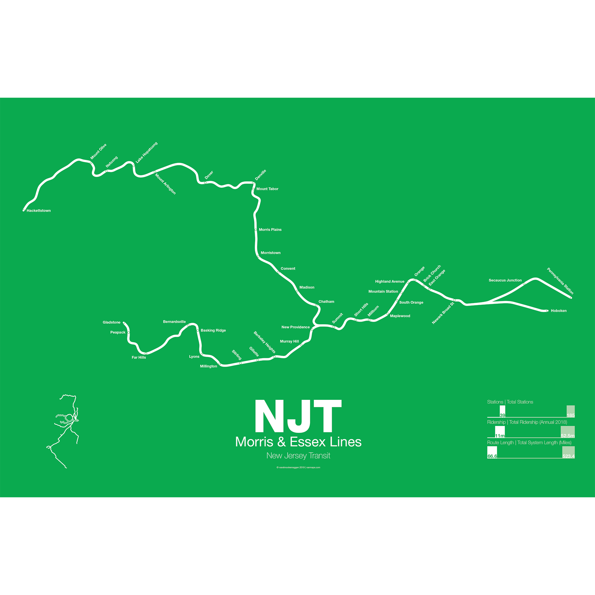
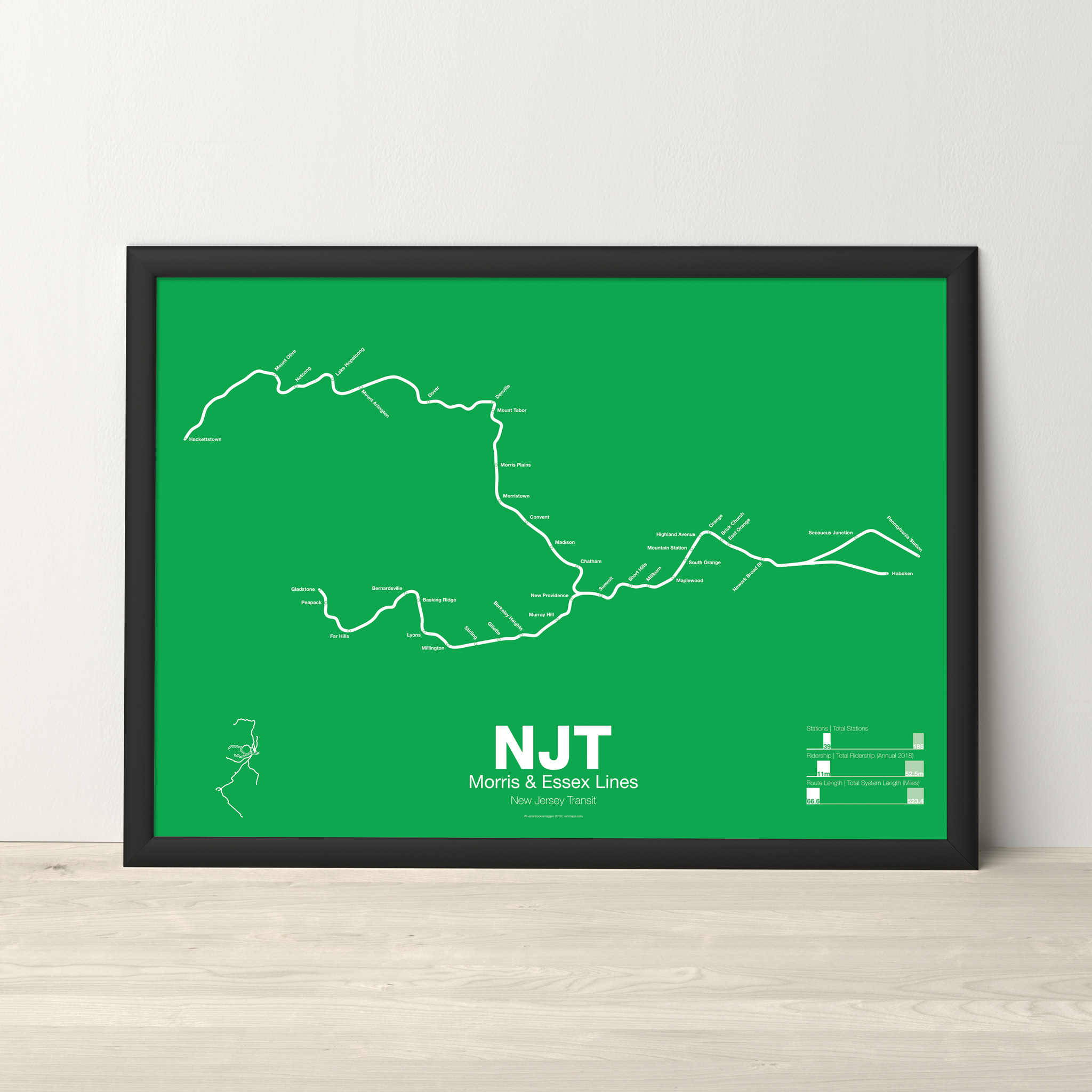
NJT Morris and Essex Lines Poster
Price range: $30.00 through $80.00
Additional information
| Weight | N/A |
|---|---|
| Dimensions | N/A |
| Size | 18"x24", 24"x36", Framed 18" x 24" |
Related products
-
 Price range: $30.00 through $80.00
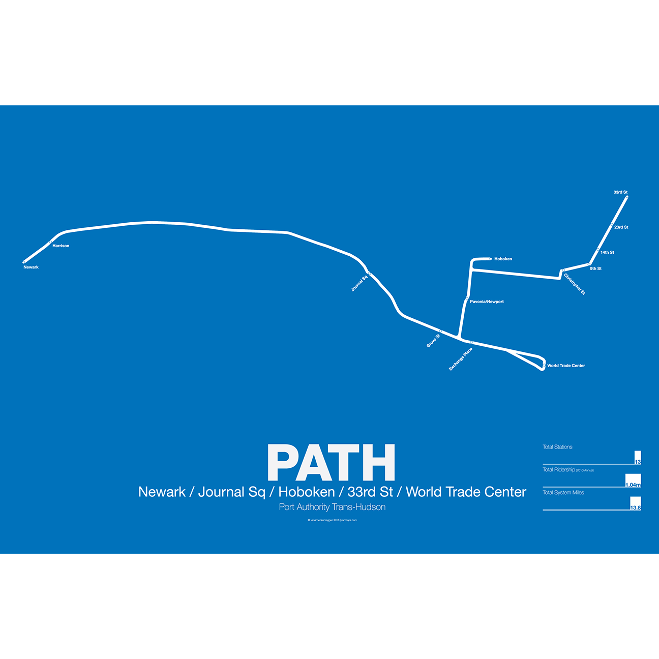
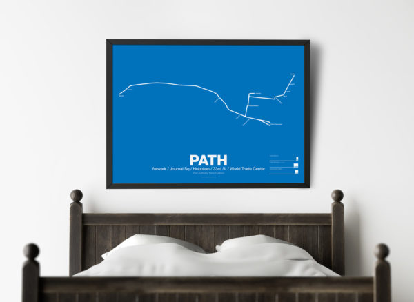
PATH (Port Authority Trans-Hudson), originally known as the Hudson and Manhattan Railroad (H&M), predates the original line of the NYC Subway. First planned in 1874, existing technologies could not safely tunnel under the Hudson River. Construction began on the existing tunnels in 1890, but stopped shortly thereafter when funding ran out. Construction did not resume until 1900 under the direction of William Gibbs McAdoo.
Opened in 1907, the Hudson and Manhattan Railroad tunnels were designed to link three of the major railroad terminals on the Hudson River in New Jersey—the Lackawanna in Hoboken, the Erie and PRR in Jersey City—with New York City. Two sets of tunnels connected commuters to the business centers in lower Manhattan and midtown Manhattan along 6th Ave. As the H&M was opened only 3 years after the original subway extensions were planned from 33rd St to Grand Central (original plans for Grand Central Terminal show space for a never built H&M station) and from 9th St to Astor Pl.
The H&M was only successful for a short 20 years as Pennsylvania Station opened in midtown in 1910 and the Holland Tunnel opened in 1927, diverting rail traffic from New Jersey terminals and then by commuters who chose to drive. Two original stations at 19th St and 28th St were closed to speed up service. By the 1950s the railroad was in bankruptcy but continued to operate. In 1961 the Port Authority was tapped to construct a new World Trade Center in lower Manhattan. In a deal with the states of New York and New Jersey the Port Authority agreed to take over the railroad and moved the location of the new WTC to the Hudson Terminal of the H&M in lower Manhattan. The Port Authority upgraded the system and changed the name to PATH.
Printed on Satin finish 80# cover stock – 220 GSM. Made in the USA! Standard production time is 5 Days. Please add more time for shipping.
Select options This product has multiple variants. The options may be chosen on the product page -
 Price range: $30.00 through $80.00
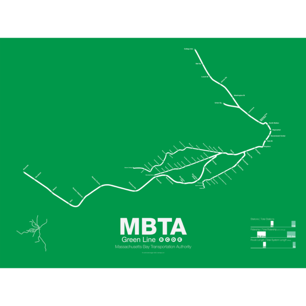
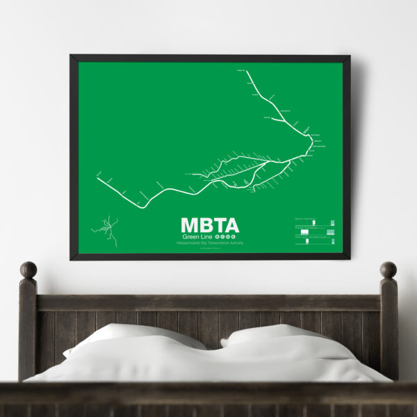
The Green Line is part of the oldest subway in the United States. The short section between Boylston St and Park St opened in 1897 as a way to divert heavy trolley traffic which came downtown from Allston, Brighton, Brookline, Jamaica Plane, Roxbury, and Dorchester. It was quickly expanded to North Station to serve trolley traffic from the northern suburbs.
As commuting patterns changed due in part to the success of the subway the Green Line was extended west to Kenmore Sq and in the 1940s southwest along Huntington Ave. As more and more commuters chose to travel in private automobiles ridership on the trolleys dropped. In 1959 the Riverside branch was opened along a former commuter rail line through Newton. A rebranding of the MBTA system in 1967 renamed the branches that were left as the A, B, C, D, and E branches. The A branch to Watertown Sq. only lasted two more years before finally being axed in 1969.
Boston College B Branch trains run along Commonwealth Ave to Government Center; Cleveland Cirlce C Branch trains run along Beacon St to North Station; Riverside D Branch trains run along the Riverside line through Newton to Government Center; Heath St E Branch trains run along Huntington Ave to Lechemere. Construction has begun on a long planned extension northwest through Somerville which will bring the E branch to Union Sq and the D to College Ave-Tufts University.
Printed on Satin finish 80# cover stock – 220 GSM. Made in the USA! Standard production time is 5 Days. Please add more time for shipping.
Select options This product has multiple variants. The options may be chosen on the product page -
 Price range: $30.00 through $80.00
Printed on Satin finish 80# cover stock – 220 GSM. Made in the USA! Standard production time is 5 days. Allow more time for shipping.
Select options This product has multiple variants. The options may be chosen on the product page -
 Price range: $30.00 through $80.00
The Bay Area Rapid Transit system (BART) was, along with the WMATA in Washington D.C., one of the great centrally planned post-war rapid transit systems aimed at addressing the rise of the highway and auto-centric suburbs after World War II in the United States. Planning began in the 1950s for a unified high speed rail system that would serve both the dense inner cities of San Francisco and Oakland and their newly expanding low-rise suburbs. Stations would be spaced closer in the central business districts and further out in the suburbs.
Originally planned to connect Alameda, Contra Costa, Marin, San Francisco, and San Mateo counties BART was scaled back when San Mateo dropped out in favor of commuter rail service and the Marin line was dropped due to engineering concerns about running a rail line over the Golden Gate Bridge. Construction began in 1964 and the initial segments began to come online in 1972 and the majority of the system opening by 1974.
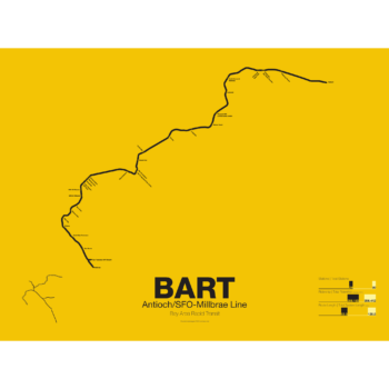
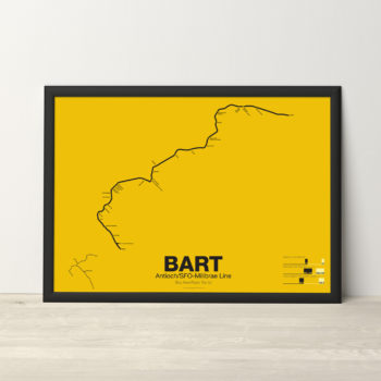
The Pittsburg/Bay Point–SFO/Millbrae Line, also known as the Pittsburg/Bay Point Line or the Concord Line (from the original terminus), was the second line to open in 1973 between Concord and MacArthur stations and extended to Daly City when the Transbay Tube opened in 1974.
In 1995 the line was extended northeast to Pittsburg/Bay Point Point and in 2003 the line was extended south to SFO/Millbrae.
The Pittsburg/Bay Point Line has the distinction of running with the longest train sets in the system; 10 car trains on weekdays and 8 or 9 car trains on evenings and weekends.
The section of track between Concord and Walnut Creek was the site of the BART groundbreaking ceremony in 1964 presided over by President Lyndon B. Johnson. Currently a new eBART system is being built east of Pittsburg/Bay Point station using Diesel Multiple Unit trains (as opposed to electric third-rail trains) to Antioch.
Printed on Satin finish 80# cover stock – 220 GSM. Made in the USA! Standard production time is 5 Days. Please add more time for shipping.
Select options This product has multiple variants. The options may be chosen on the product page