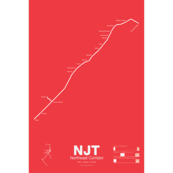
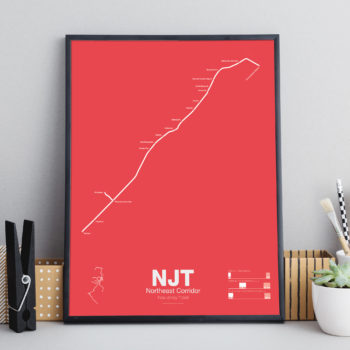
Printed on Satin finish 80# cover stock – 220 GSM. Made in the USA! Standard production time is 5 days. Allow more time for shipping.
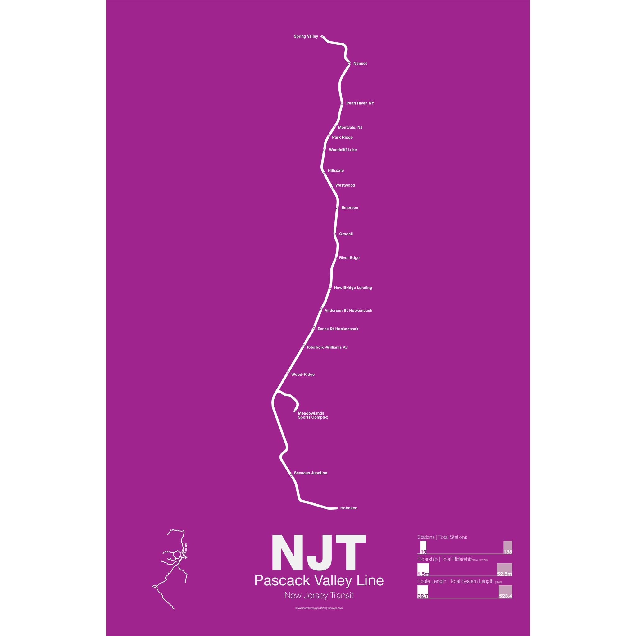
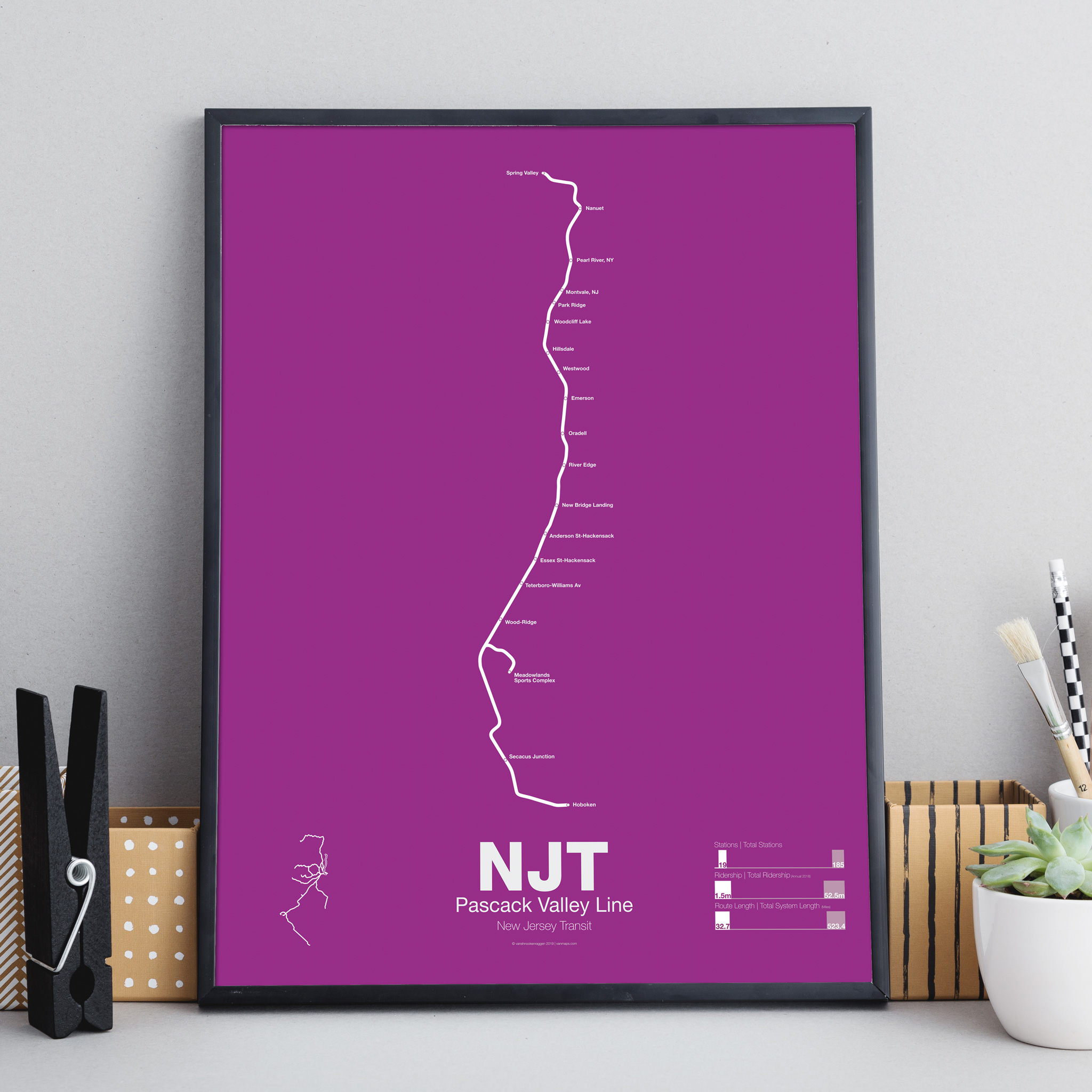
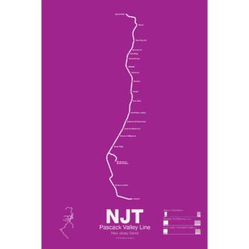
NJT Pascack Valley Line Poster
$30.00 – $80.00
Additional information
| Weight | N/A |
|---|---|
| Dimensions | N/A |
| Size | 18"x24", 24"x36", Framed 18" x 24" |
Related products
-
 $30.00 – $80.00
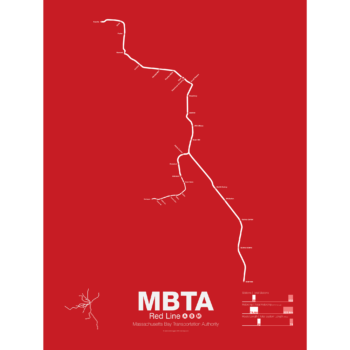
In 1912 the Red Line benefited from being the last of the original subways in Boston to open. A decade of subway building allowed the Red Line to be designed with larger trains and platforms that were easier to navigate (unlike the disconnected Orange Line platforms). Planned as an elevated subway until the citizens of Cambridge objected, the original route connected Harvard Sq. with Park St. At Harvard Sq. a parallel subway was built for trolleys to transfer commuters from the northwestern suburbs and is still in use today.
The Red Line was quickly extended to South Boston and large transfer stations were built at Broadway and Andrew Sq. to collect trolley (and later bus) commuters coming from Dorchester.
In 1926 and 1927 the Red Line was extended to Ashmont in Dorchester along the route of and old commuter rail road. Though the subway was proposed to be extended further to Mattapan the residents of Milton and southern Dorchester opted for a high speed trolley route instead, pre-dating the concept of light rail.
Plans were drawn up to create a new branch of the Red Line to Braintree as early as 1945 but construction didn’t begin for another 20 years. First to Quincy in 1971 and finally to Braintree in 1980 the new branch was designed to bypass Dorchester for a quicker commute.
At the other end the Red Line was extended northwest from Harvard Sq. to Alewife in 1985. Originally planned to run out to Lexington along the abandoned Boston and Maine Railroad the line was cut back when residents of Arlington protested.
The Red Line runs two heavy rail routes, Alewife-Ashmont and Alewife-Braintree (which skips Savin Hill).
A light rail section runs from Ashmont to Mattapan using refurbished PPC trolleys from the 1940s.
Printed on Satin finish 80# cover stock – 220 GSM. Made in the USA! Standard production time is 5 Days. Please allow more time for shipping.
Select options This product has multiple variants. The options may be chosen on the product page -
 $30.00 – $80.00
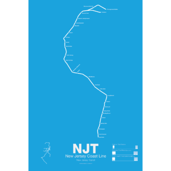
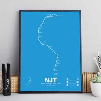
Printed on Satin finish 80# cover stock – 220 GSM. Made in the USA! Standard production time is 5 days. Allow more time for shipping.
Select options This product has multiple variants. The options may be chosen on the product page -
 $30.00 – $80.00
Printed on Satin finish 80# cover stock – 220 GSM. Made in the USA! Standard production time is 5 days. Allow more time for shipping.
Select options This product has multiple variants. The options may be chosen on the product page -
 $30.00 – $80.00
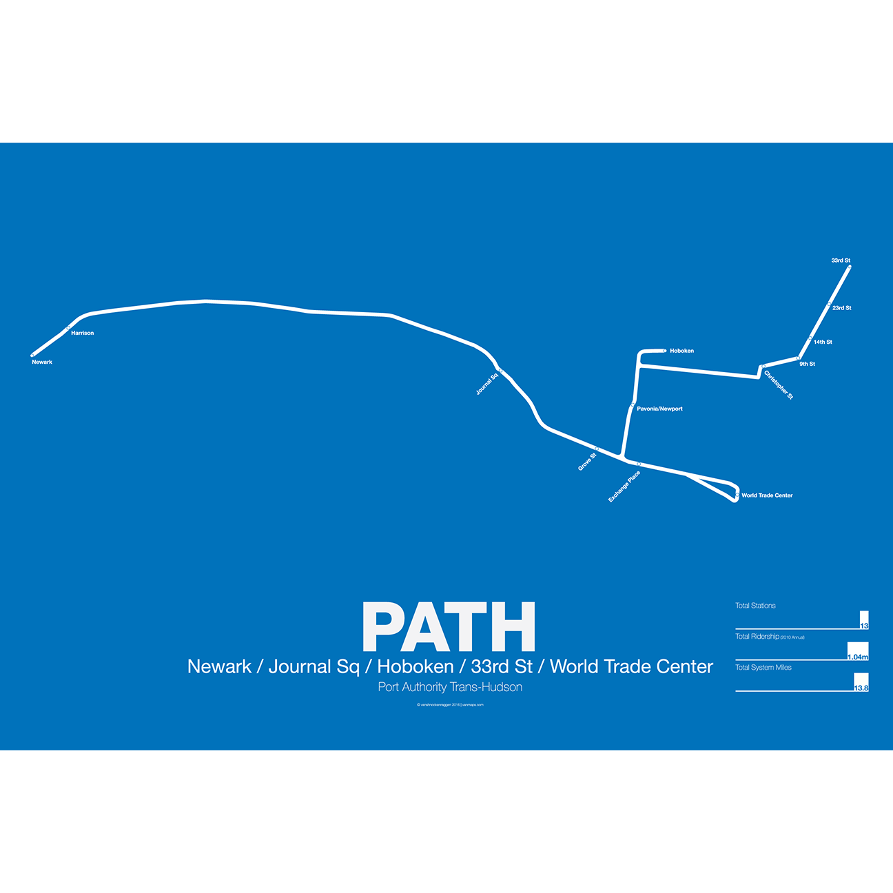
PATH (Port Authority Trans-Hudson), originally known as the Hudson and Manhattan Railroad (H&M), predates the original line of the NYC Subway. First planned in 1874, existing technologies could not safely tunnel under the Hudson River. Construction began on the existing tunnels in 1890, but stopped shortly thereafter when funding ran out. Construction did not resume until 1900 under the direction of William Gibbs McAdoo.
Opened in 1907, the Hudson and Manhattan Railroad tunnels were designed to link three of the major railroad terminals on the Hudson River in New Jersey—the Lackawanna in Hoboken, the Erie and PRR in Jersey City—with New York City. Two sets of tunnels connected commuters to the business centers in lower Manhattan and midtown Manhattan along 6th Ave. As the H&M was opened only 3 years after the original subway extensions were planned from 33rd St to Grand Central (original plans for Grand Central Terminal show space for a never built H&M station) and from 9th St to Astor Pl.
The H&M was only successful for a short 20 years as Pennsylvania Station opened in midtown in 1910 and the Holland Tunnel opened in 1927, diverting rail traffic from New Jersey terminals and then by commuters who chose to drive. Two original stations at 19th St and 28th St were closed to speed up service. By the 1950s the railroad was in bankruptcy but continued to operate. In 1961 the Port Authority was tapped to construct a new World Trade Center in lower Manhattan. In a deal with the states of New York and New Jersey the Port Authority agreed to take over the railroad and moved the location of the new WTC to the Hudson Terminal of the H&M in lower Manhattan. The Port Authority upgraded the system and changed the name to PATH.
Printed on Satin finish 80# cover stock – 220 GSM. Made in the USA! Standard production time is 5 Days. Please add more time for shipping.
Select options This product has multiple variants. The options may be chosen on the product page