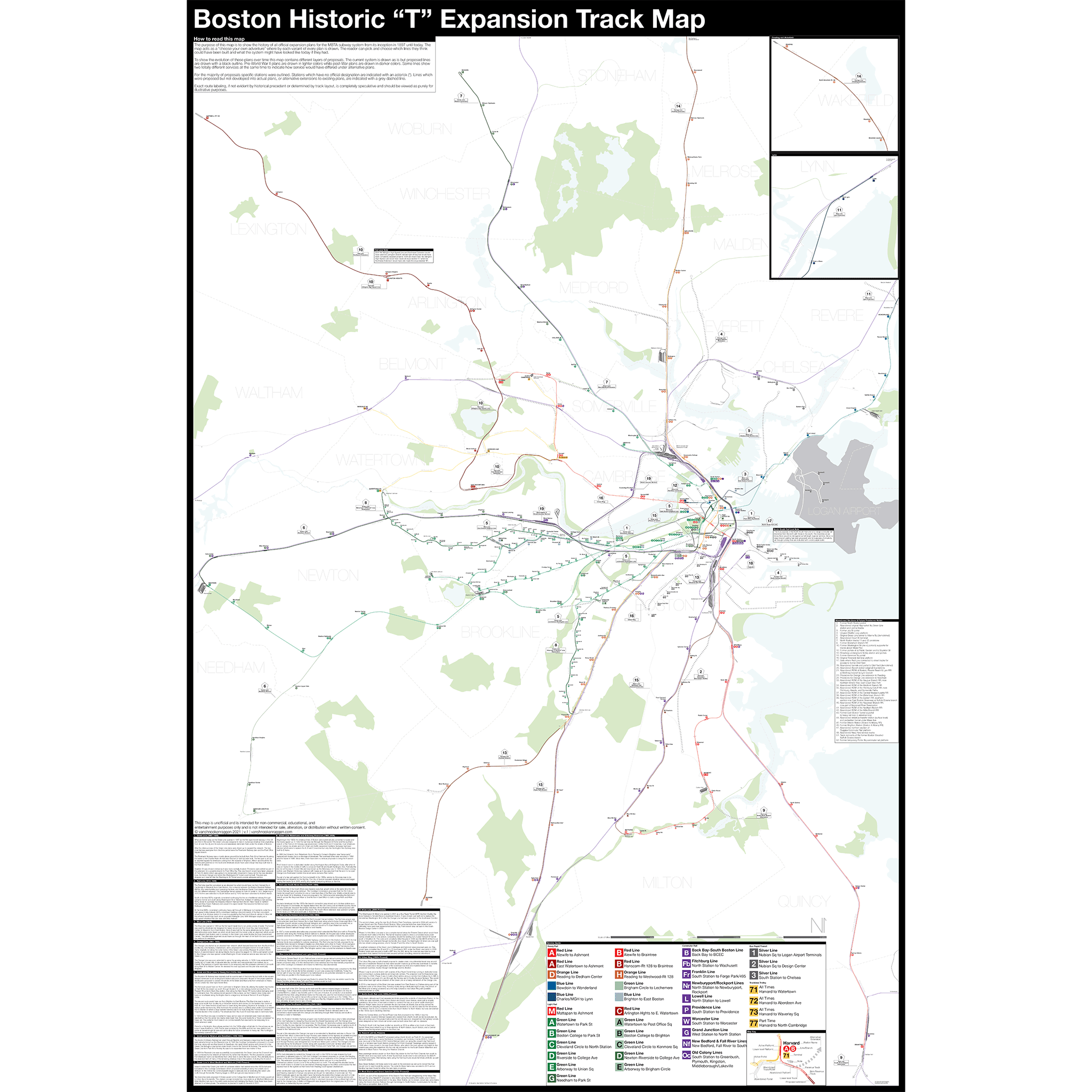
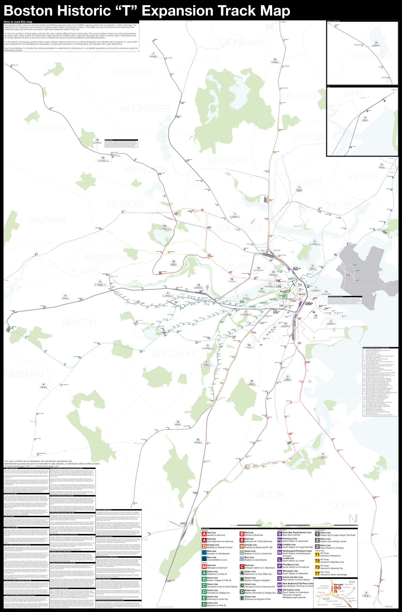
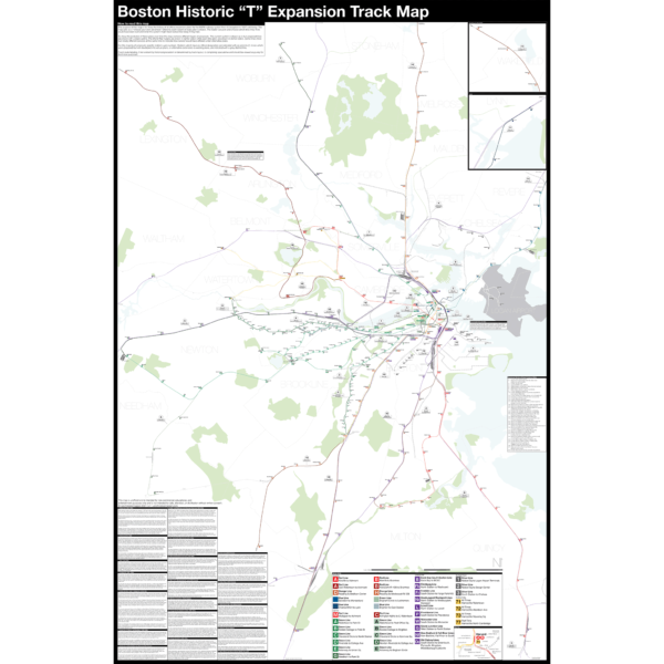
Boston opened the first subway in the US in 1897 and immediately began expanding it. Since then numerous plans have been drawn up, some are simple extensions while others are whole sale reimaginations of the subway. This map shows in detail each official proposal with the history of each idea.
The map acts as a “choose your own adventure” where by each variant of every plan is drawn. The reader can pick and choose which lines they think could have been built and what the system might have looked like today if they had.
Fine art prints are made in Williamsburg, Brooklyn NY on Semi-Gloss, 10mil Premium Luster Paper.
For more information about the map see the original blog post here.


