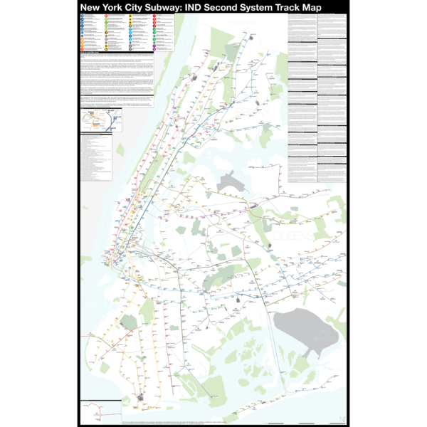
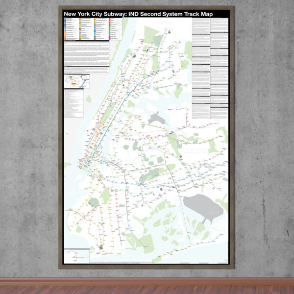
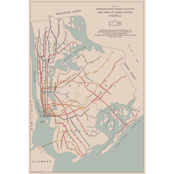
There are two “official” maps of the IND Subway’s expansion plans from the 1930s, colloquially known as the Second System. The plans for expansion evolved greatly as the IND was built. In the 1930s, the New York City subways were still operated by three separate companies. In 1940 the two private companies, the IRT and BMT were purchased by the City of New York under a unification plan. Thus, subway planners were able to imagine physically combining the three systems.
In 1940, John Delaney, Chairman of the Board of Transportation, outlined a new plan, with some additions in 1943. Until now, there were no maps of this plan. So I made one! The 1943 Lost IND Second System Map is probably the last time the city thought about such a large expansion program. The map here is based on the design of the 1939 map, with some changes.
To learn more about the history of this map, and see an outline of the ideas it shows, check out my post.
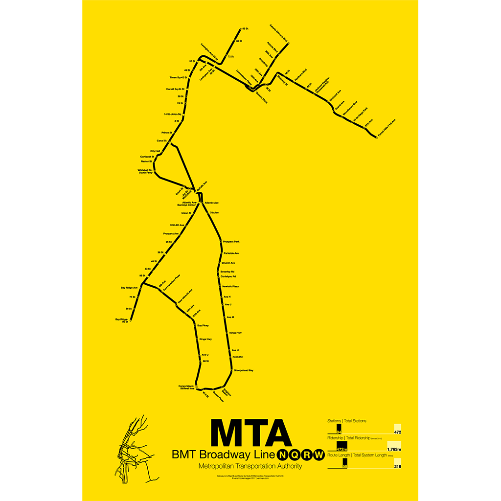
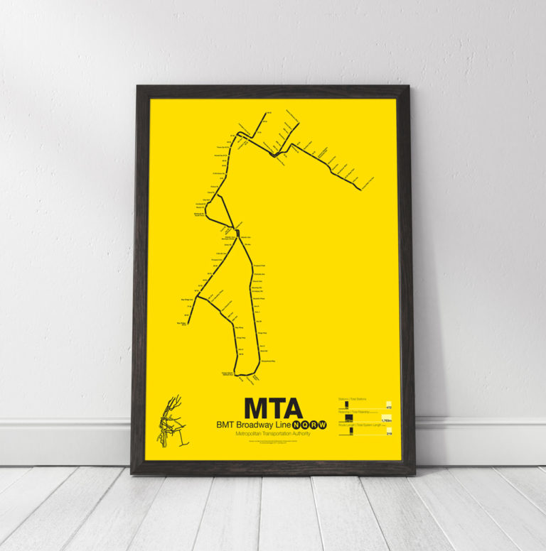
Printed on Satin finish 80# cover stock – 220 GSM, 24″ x 36″.