blue
11 Products
Active Filters
Filter by Category
Filter by Color
Filter by Size
Filter by Price
Min Price:
Max Price:
-
 $30.00 – $80.00
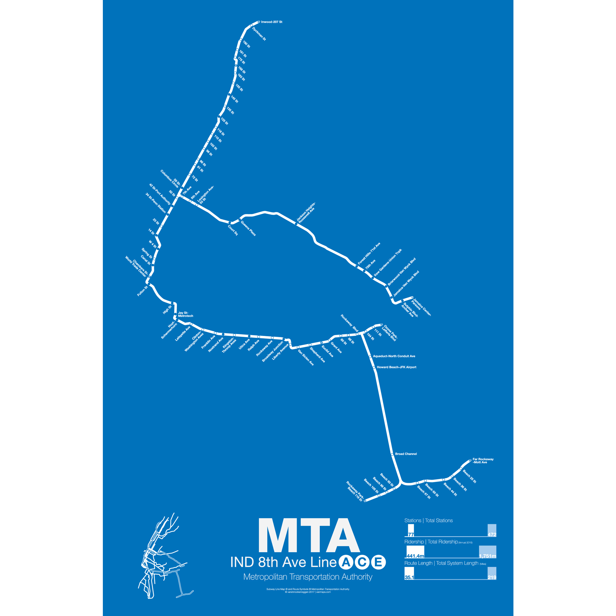
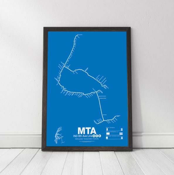
The 8th Ave Line was the first section to open as part of the Independent Subway (IND), a new system built and operated by the City of New York to compete with the privately run IRT in Manhattan and the Bronx and the BMT in Brooklyn and under Broadway. The first major section opened in September 1932 with express and local service from Washington Heights to Chambers St.
The 8th Ave Line shares its tracks with the 6th Ave trains along Central Park West and 53rd St. The A train (made famous by Billy Strayhorn’s Take the A Train) runs from 207th St in Inwood to Fulton St in downtown Manhattan as express while the C train runs all local from 168th St in Washington Heights to Fulton St. From there the line enters Brooklyn and runs out to Ozone Park along the Fulton St subway (not to be confused with Fulton St in Manhattan). The C train terminates at Euclid Ave while the A train continues on to one of three termini: Lefferts Blvd, Rockaway Park and Far Rockaway. The A is the only train with multiple, regular service, termini.
The E train runs local in Manhattan from World Trade Center to 50th St where it splits from 8th Ave under 53rd St heading east into Long Island City and Queens Plaza. The E train is one of the two workhorse express trains running along the Queens Blvd subway to Forest Hills and Jamaica. The E splits from the Queens Blvd subway at Van Wyck Ave and terminates in Jamaica Center.
The majority of the 8th Ave Line is underground and was built specifically for the IND system. The sections of elevated track after Euclid Ave to Lefferts Blvd were recaptured from the existing Fulton St elevated line in the 1940s and the tracks out to the Rockaways where added in the 1950s after being purchased from the Long Island Rail Road.
Printed on Satin finish 80# cover stock – 220 GSM. Made in the USA! Standard production time is 5 days. Allow more time for shipping.
Select options This product has multiple variants. The options may be chosen on the product page -
 $30.00 – $80.00
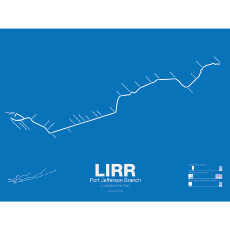
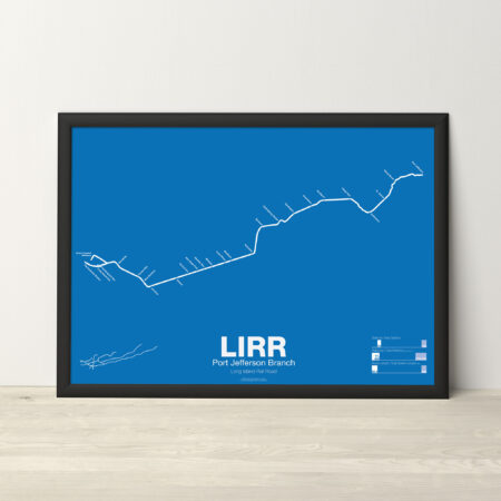
The LIRR Port Jefferson Branch is a branch off the Main Line at Hicksville and was opened to Syosset in 1854. The line was extended to Northport in 1868 but due to disputes between the LIRR and the towns of Cold Spring and Huntington the new line bypassed both. In 1873 the line was extended to Port Jefferson but branched off south of Northport, leaving the original terminal a spur line that would be abandoned by 1899. In 1895 the line was extended a final time to Wading River with plans on continuing it to Riverhead, though this was never done. The Wading River extension was eventually abandoned in 1938. Due to rising ridership the LIRR is constructing a third track along the Main Line from Floral Park to Hicksville so many Port Jefferson and Ronkonkoma trains can run express to Jamaica.
Printed on Satin finish 80# cover stock – 220 GSM. Made in the USA! Standard production time is 5 days. Allow more time for shipping.
Select options This product has multiple variants. The options may be chosen on the product page -
 $30.00 – $80.00
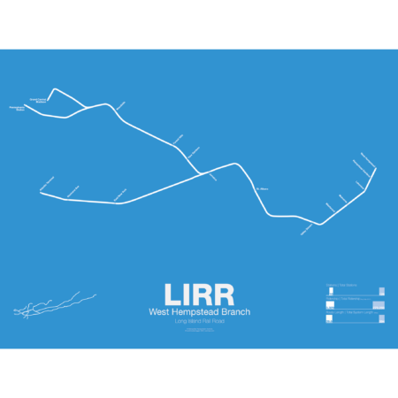
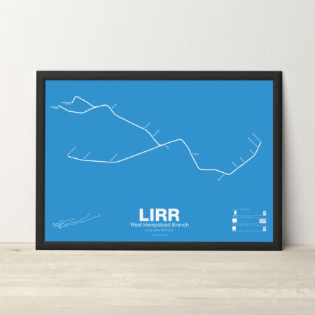
The LIRR West Hempstead Branch is a short, single track line which runs from Valley Stream to West Hempstead. Most service is run as a shuttle but a few trains are through run at peak times. The West Hempstead Branch was opened by the New York Bay Extension RR Company as part of a larger, unrealized line from Brooklyn to Garden City. The line originally had complex connections to the Hempstead Branch, Main Line, and Oyster Bay Branch so that many different services could be run. Eventually these connections were eliminated due to the need for grade separation.
Printed on Satin finish 80# cover stock – 220 GSM. Made in the USA! Standard production time is 5 days. Allow more time for shipping.
Select options This product has multiple variants. The options may be chosen on the product page -
 $30.00 – $80.00
Printed on Satin finish 80# cover stock – 220 GSM. Made in the USA! Standard production time is 5 days. Allow more time for shipping.
Select options This product has multiple variants. The options may be chosen on the product page -
 $30.00 – $80.00
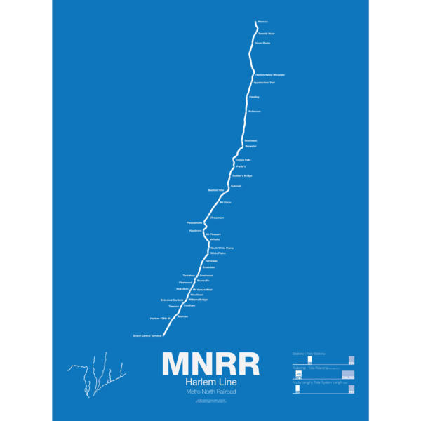
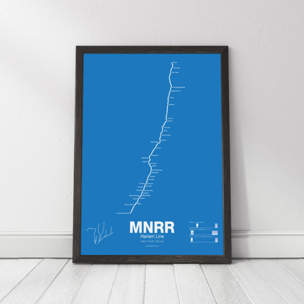
The Metro North Harlem Line runs from Grand Central Terminal in Manhattan to Wassic in Dutchess County, running through the posh suburbs in Westchester. The railroad began as a horse drawn streetcar line from lower Manhattan to the distant suburb (at the time) of Harlem in 1831. The line quickly grew with ambitions to reach Albany and beyond but only got to Chatham, NY in 1852 where riders could transfer to other trains to Boston, Albany, and to points north and west. Originally trains would end at 26th St and Park Ave in Manhattan but in 1871 the new Grand Central Depot was opened at 42nd St, at the time far from the heart of the city.
The Harlem Line was leased to the mighty New York Central Railroad in 1873 and would be a major part of their system until after World War II when the NYC and Pennsylvania Railroad merged. This couldn’t stop the losses and by 1971 a deal was stuck to lease the railroad to the Metropolitan Transportation Authority and was merged into the new Metro North Railroad. Service between Chatham and Dover Plains was ended and the MTA began to invest in new stations and modern equipment. In 2000 Metro North completed a reactivation of track from Dover Plains to Wassaic.
Printed on Satin finish 80# cover stock – 220 GSM. Made in the USA! Standard production time is 5 days. Allow more time for shipping.
Select options This product has multiple variants. The options may be chosen on the product page -
 $30.00 – $80.00
Printed on Satin finish 80# cover stock – 220 GSM. Made in the USA! Standard production time is 5 days. Allow more time for shipping.
Select options This product has multiple variants. The options may be chosen on the product page -
 $30.00 – $80.00
Printed on Satin finish 80# cover stock – 220 GSM. Made in the USA! Standard production time is 5 days. Allow more time for shipping.
Select options This product has multiple variants. The options may be chosen on the product page -
 $30.00 – $80.00
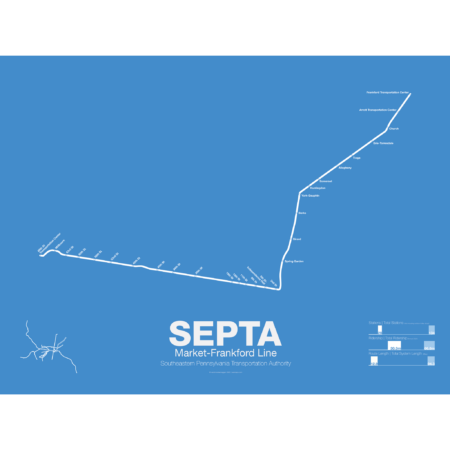
The Market-Frankford Line, now the “L”, is the oldest subway in Philadelphia, with the initial section from 23rd St to City Hall with an elevated track running across the Schuykill River to the 69th St terminal opening in 1907. The line was built with 4 tracks, two for the elevated and two for the surface trolleys. Originally both sections looped back at City Hall but a year later the elevated trains were extended via subway to 2nd St and to Chestnut St where a portal brought them back to the surface again. Before the Frankford extension was completed, in 1922, the Market Line turned south along Delaware Ave to service the popular ferry terminals. The Frankford extension terminated at Bridge St but was intended to be extended northeast to Rhawn St. When the Benjamin Franklin Bridge opened to traffic in 1926 ferry traffic dropped off and the branch serving the terminals was closed in 1939. The subway was extended west to 46th St (to allow for the removal of the elevated tracks) starting in 1930 but due to budget problems and World War II the extension did not open until 1955. In 1977 the Delaware Ave portal was relocated along the median of the newly constructed Delaware Expressway.
The Market-Frankford Line is unique in that it uses a 5′ 2.5″ rail gauge, standard for trolleys in Pennsylvania, which is different from the standard 4′ 8.5″ gauge which is used by most trains in the United States. Service on the line is skip-stop, with A and B trains trading off service at further out stations but all stopping at Center City stations.
Printed on Satin finish 80# cover stock – 220 GSM. Made in the USA! Standard production time is 5 days. Allow more time for shipping.
Select options This product has multiple variants. The options may be chosen on the product page -
 $30.00 – $80.00
Printed on Satin finish 80# cover stock – 220 GSM. Made in the USA! Standard production time is 5 days. Allow more time for shipping.
Select options This product has multiple variants. The options may be chosen on the product page -
 $30.00 – $80.00
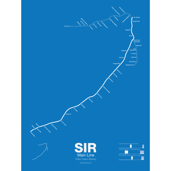
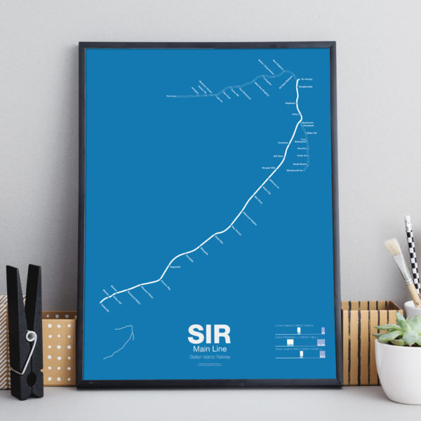
The Staten Island Railway was founded in 1851 as a way to connect the island to Cornelius Vanderbilt’s ferry to Manhattan. It was expanded in the 1880s with a North Shore Branch which connected the island to New Jersey and a South Beach Branch which ran past Fort Wadsworth to the beaches on the islands southeastern shore. The railroad served both passenger and freight traffic. In the 1920s the railroad was electrified in anticipation of a connection to the subway in Brooklyn but the tunnel was never built. After World War II ridership dropped as more residents chose to drive or take cheaper buses over the new bridges to New Jersey. Service on the North Shore and South Beach Branches was ended in 1953, though the North Shore Branch was (and still partially is) still used for freight. Plans have been floated to reactive the North Shore Branch as rail or bus rapid transit but so far nothing has been done.
This poster shows the existing Main Line and two former branches, the North Shore Branch to Port Ivory and the South Beach Branch to Wentworth Ave.
Printed on Satin finish 80# cover stock – 220 GSM. Made in the USA! Standard production time is 5 days. Allow more time for shipping.
Select options This product has multiple variants. The options may be chosen on the product page -
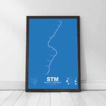 $30.00 – $80.00
Printed on Satin finish 80# cover stock – 220 GSM. Made in the USA! Standard production time is 5 Days. Please add more time for shipping.
Select options This product has multiple variants. The options may be chosen on the product page

